
Trails • Challenges • Community
Uzbekistan's mountains — from the plan to the summit
Where to go, how to get there, what it costs, what the weather is doing — all in one place. Record your route and your summit is checked automatically.
APK for Android · iPhone coming soon
In the guide right now
Every place is checked by hand; the community keeps trail conditions fresh.
Greater Chimgan · Photo: Мустафин М. · CC BY-SA 4.0 · Wikimedia Commons
FOUNDER CHALLENGE
3000+ Peaks
Uzbekistan’s peaks above 3000 m — one expedition every month
Featured places
Places with a checked elevation, difficulty and route.
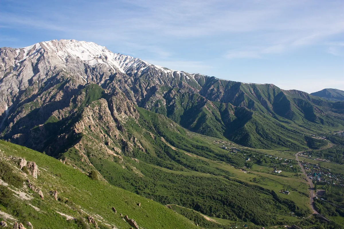
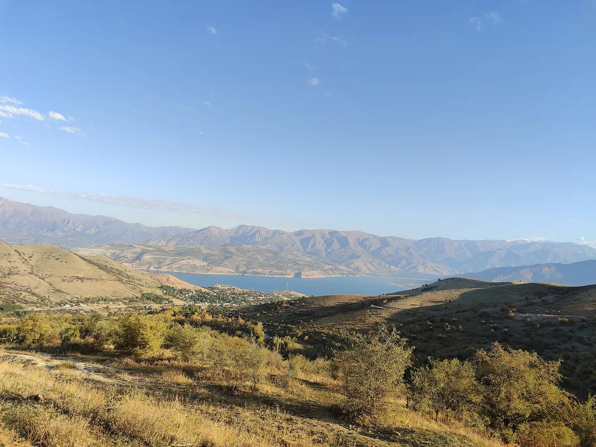
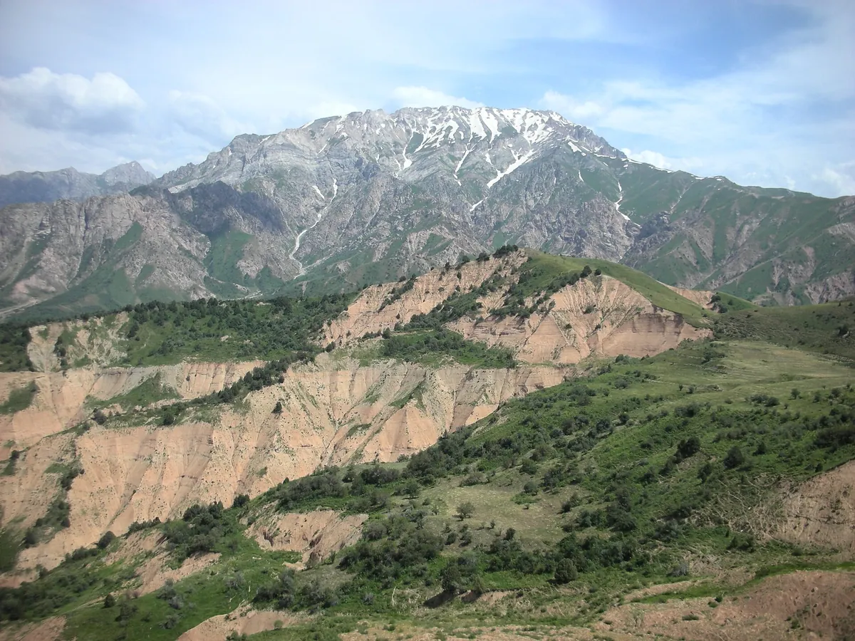
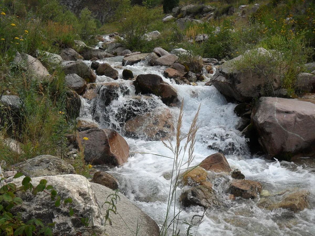
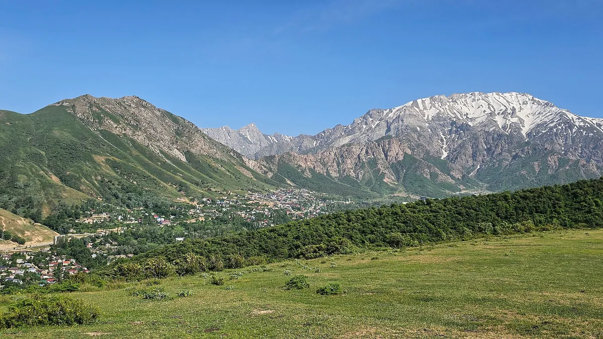
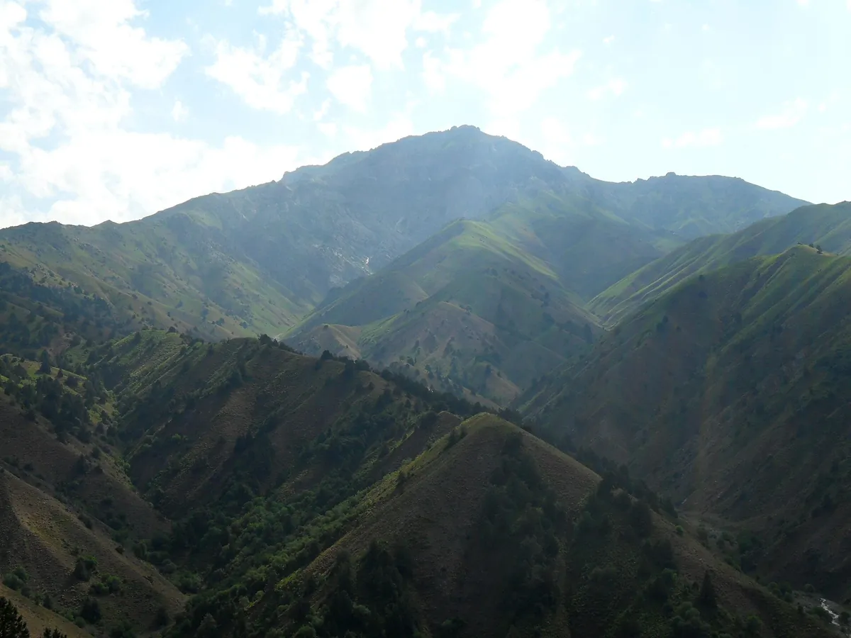
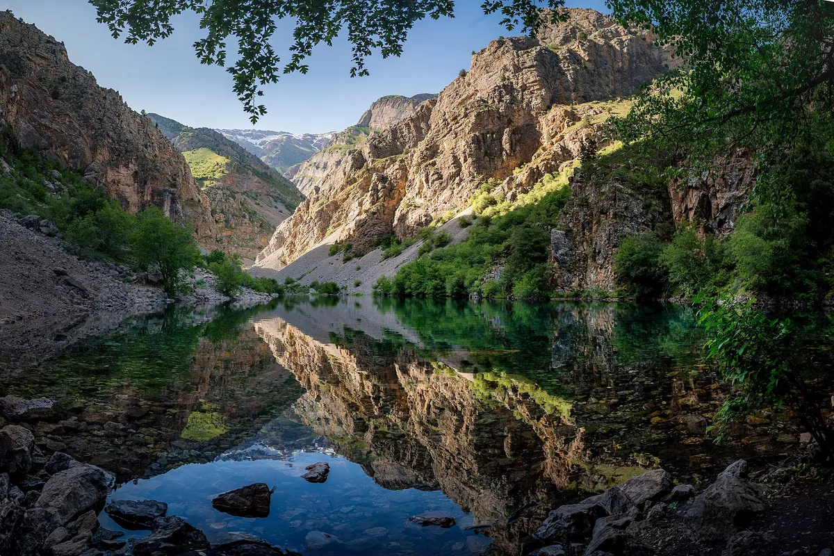
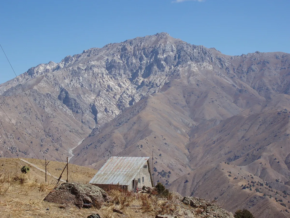
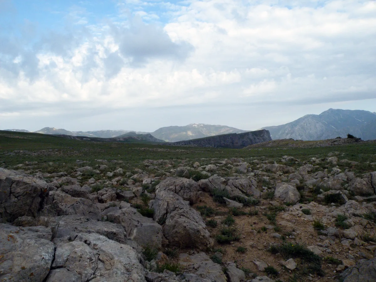
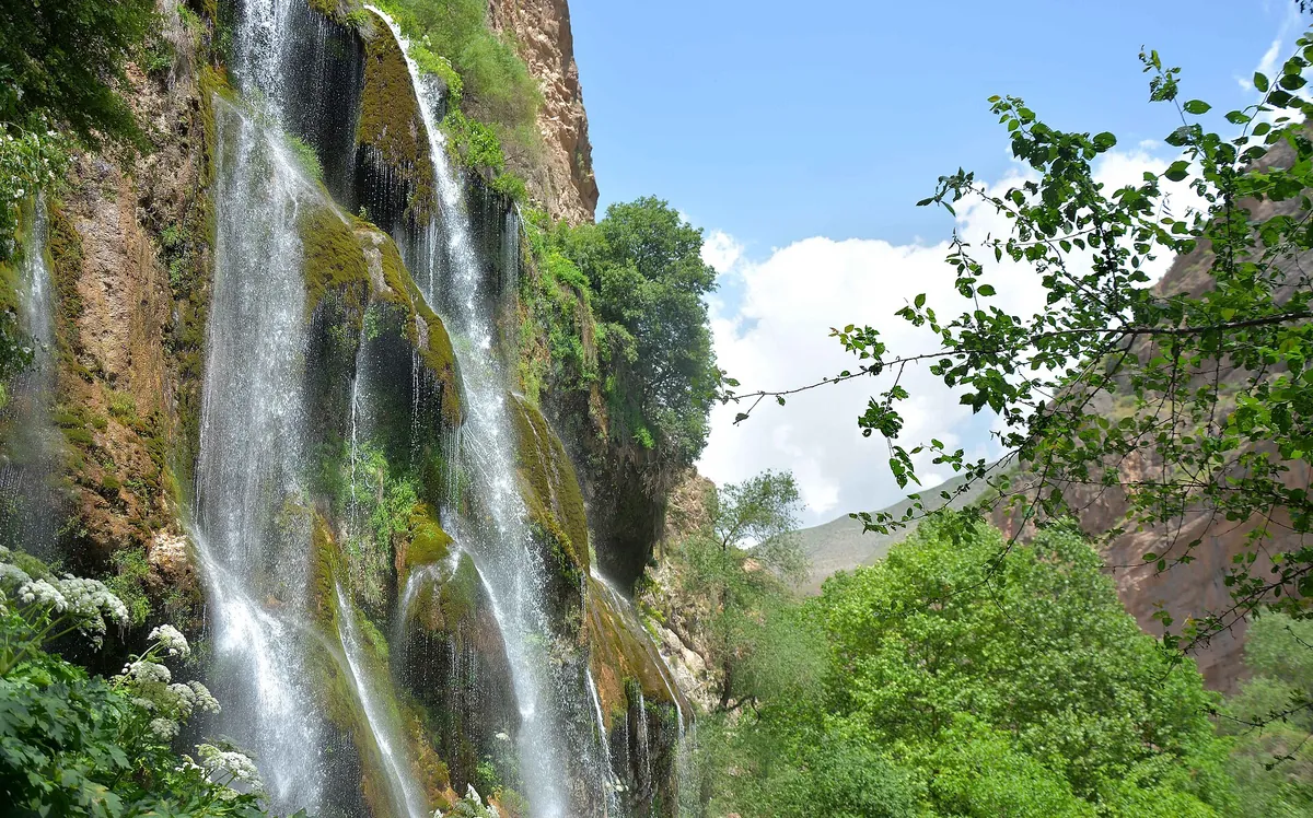
Photos by Wikimedia Commons contributors, CC BY-SA 4.0
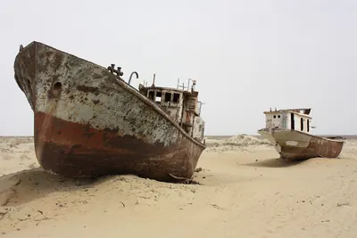
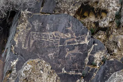
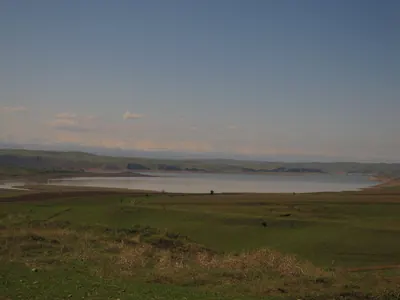
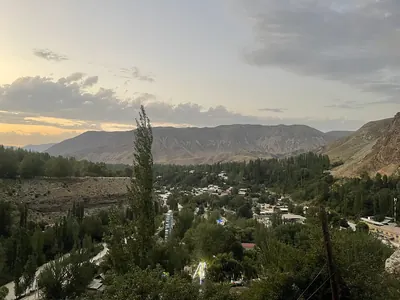
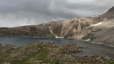
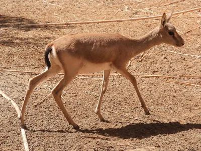
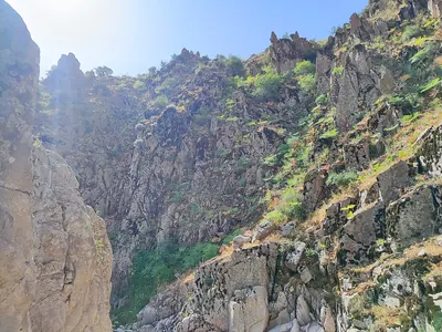
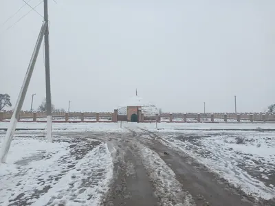

How it works
Three steps: pick it, plan it, walk it.
-
Pick a place
A peak, a lake, a waterfall or a canyon. Every place lists its elevation, difficulty and route.
-
Plan it
Weather, costs, how to get there, which months to go — on one page. Save the map and it works with no signal.
-
Go and log it
Record the route — your summit is checked automatically and unlocks badges and challenges.
Community
Join a challenge, collect badges, show the community your route.
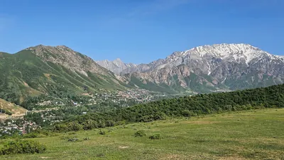
8 classic weekend trips near Tashkent
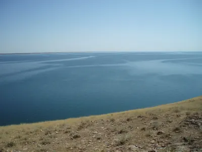
At least one verified trip in each of the 13 regions
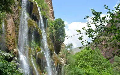
The 10 most beautiful waterfalls of spring and summer
Live trail and group hikes
Your people follow your track live through one link. Group hikes live in the app too.
Open in browserGet the app
Route recording, offline maps and challenges — all on your phone.
APK for Android · iPhone coming soon