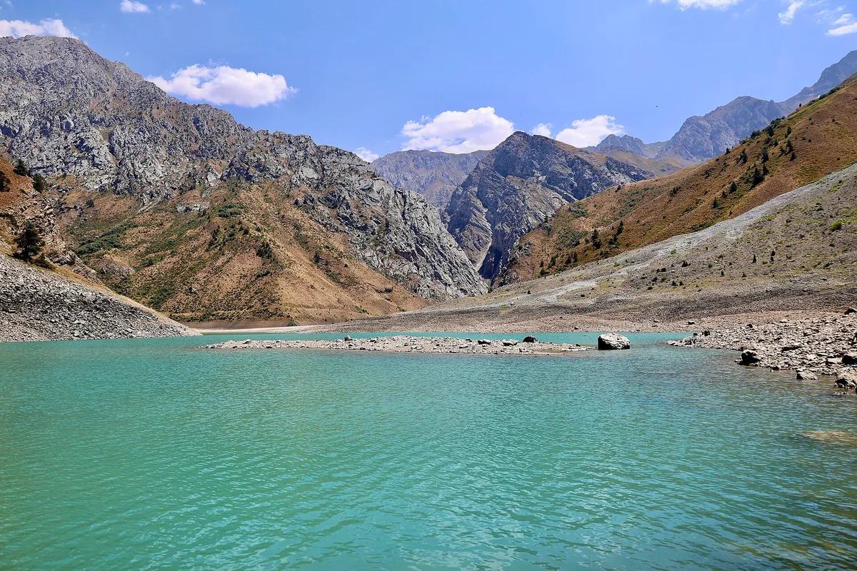
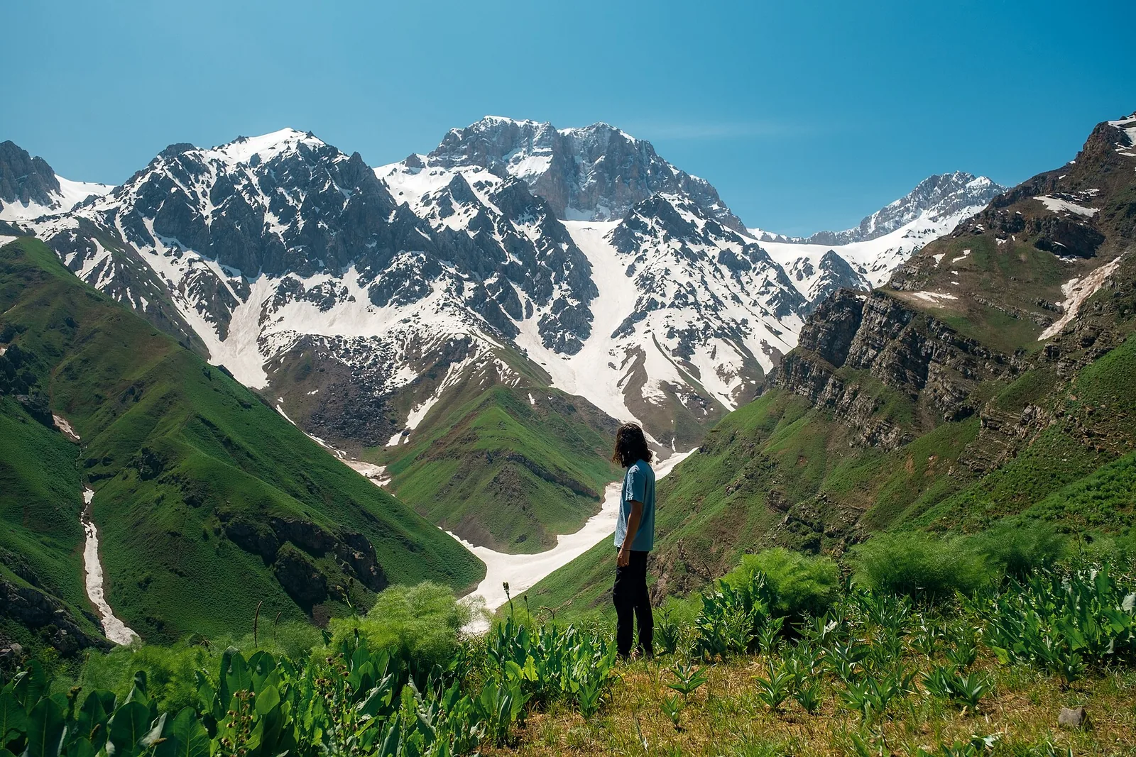
Amir Temur Peak
Amir Temur peak, 3,766 m, stands above the upper Badaksay; a 3-day route via the Darbaza pass (2A). 34 km and +2,558 m, climbed in July–August.
Routes
-
Amir Temur Peak — from base camp ★Expert · Community reported · 7 h 45 min7,7 km · +1 376 m
-
From the Badak petroglyphs to base campModerate · Community reported · 4 h3,0 km · +515 m
-
Amir Temur Peak — full route from DzhudzhurekExpert · Community reported · 17 h 15 min39,1 km · +3 108 m
Weather
At 3 766 mNow: -20° · Clear · Wind 3 km/h
Updated: 9 min ago · Weather data by Open-Meteo.com (CC BY 4.0)
Trail conditions
No reports in the last 14 days. Be the first to report in the app.
Report conditions
Sign in to write.
Sign inDiscussion
No questions yet. Ask the first one.
How to get there
-
By carTashkent — Charvak — Bogiston — Pskem valley; border zone above Pskem village. · 170,0 km · 4 h
Questions and answers
Do you need a permit?
Yes. This is a border zone — the permit comes from the Border Troops, and without it you are turned back at the checkpoint. Border zone — SGB permit via a tour operator.
How do you get there?
By car: Tashkent — Charvak — Bogiston — Pskem valley; border zone above Pskem village.
Which months are best?
Jul–Aug — that is when people go.
How long does it take?
One trip takes about 30 h: 7,7 km of walking and 1 376 m of climbing.
What does it cost?
Food (per person per day) — 80 000 UZS (per person), Mountaineering guide (per day) — 650 000 UZS (per group), Border permit (via tour operator) — 300 000 UZS (per person). The prices are estimates and can differ on the day.
Is there phone signal?
No. Save the map beforehand and tell someone at home where you are going.
Photos
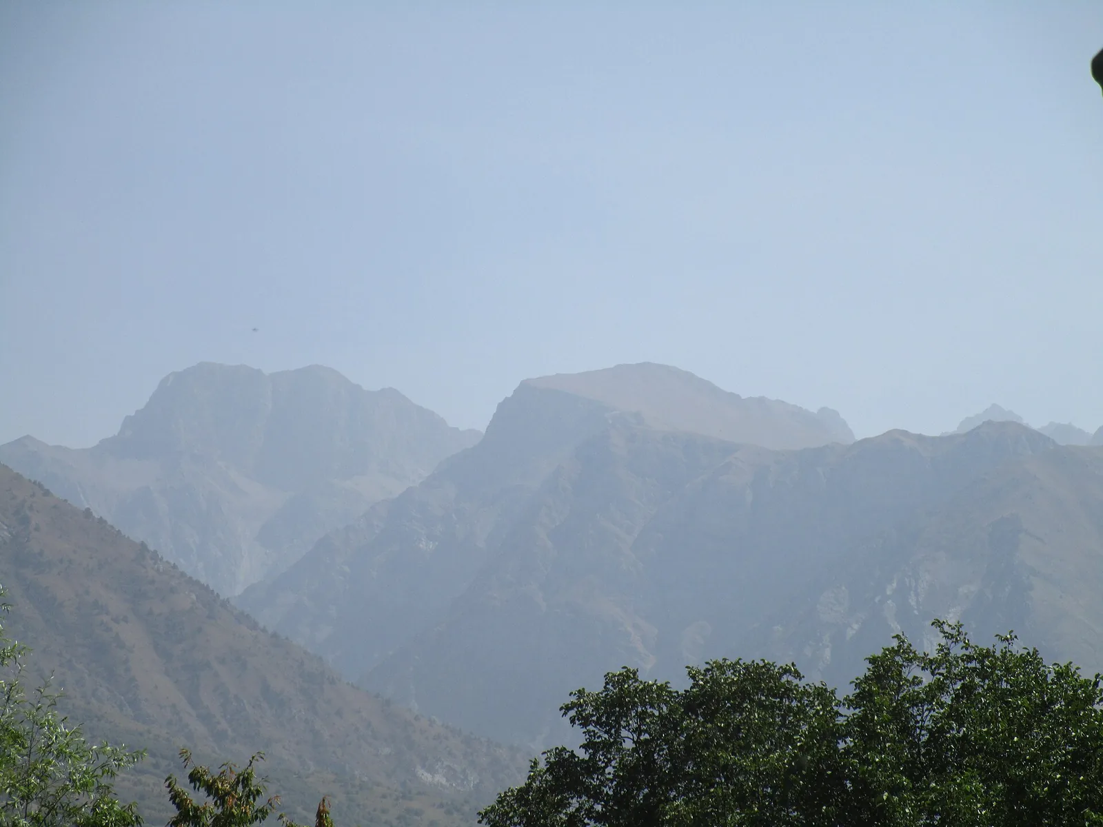
Photos by Wikimedia Commons contributors, CC BY-SA 4.0