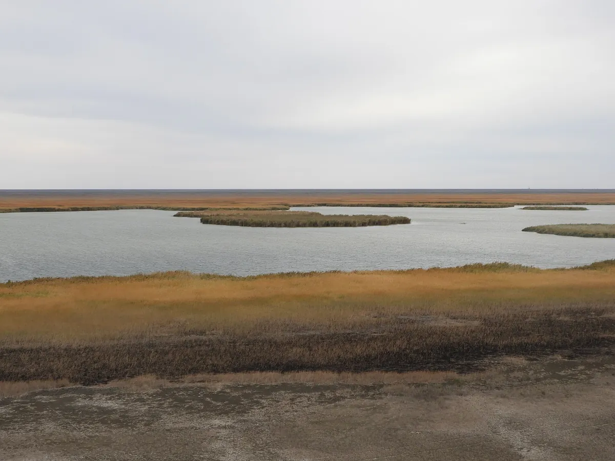
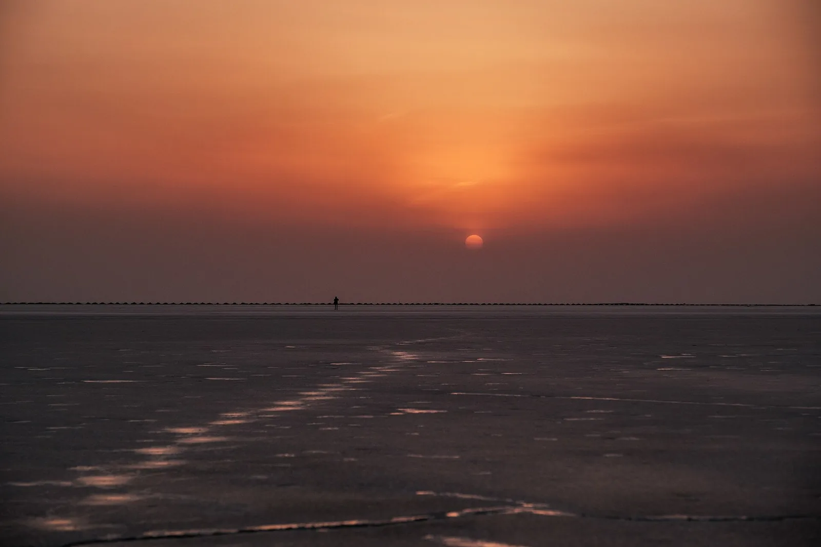
Barsakelmes Salt Flat and Ustyurt Chinks
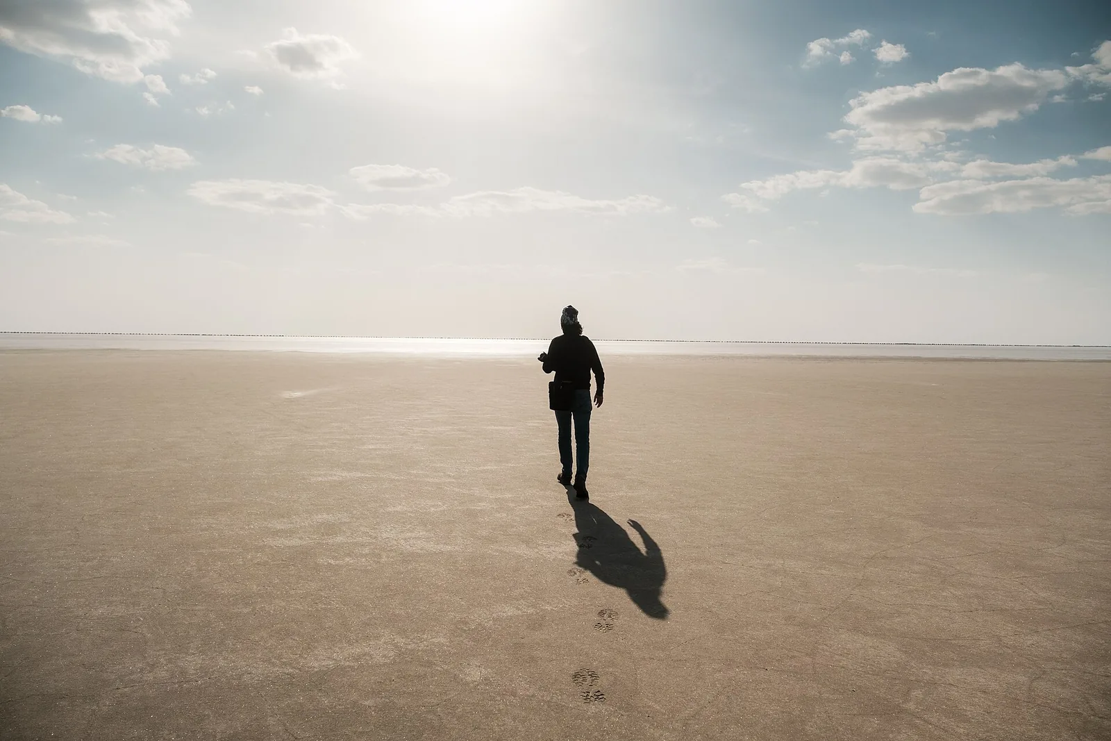
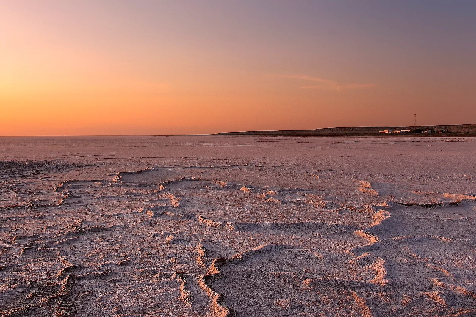
Barsakelmes is a large salt flat below the Ustyurt plateau; the name means "go and you will not return". The plateau edge — the chink — drops 100–150 m above the flat, and from the rim you look out over emptiness and salt. This is the remotest corner of Karakalpakstan: no roads, no water, and the Kazakh border close by.
Weather
At 64 mNow: 4° · Clear · Wind 12 km/h
Updated: 13 min ago · Weather data by Open-Meteo.com (CC BY 4.0)
Trail conditions
No reports in the last 14 days. Be the first to report in the app.
Discussion
No questions yet. Ask the first one.
How to get there
-
Expedition (jeep tour)Operators in Nukus arrange a 2–3 day Ustyurt trip with a 4×4, a guide and permits. · 400,0 km · 10 h1 500 000 UZS
Questions and answers
Do you need a permit?
Yes. This is a border zone — the permit comes from the Border Troops, and without it you are turned back at the checkpoint. A border zone and sanctuary: passport, a permit arranged in advance and a local guide are required. Do not go alone or with a single vehicle.
Do you need a guide?
Yes — better to go with a guide than on your own.
How do you get there?
Expedition (jeep tour): Operators in Nukus arrange a 2–3 day Ustyurt trip with a 4×4, a guide and permits.
Which months are best?
Apr–May, Oct — that is when people go.
How long does it take?
One trip takes about 6 h.
Is there water on the way?
There is no water anywhere here — carry at least 5 L per person per day.
Photos
Photos by Wikimedia Commons contributors, CC BY-SA 4.0