
Peak · Toshkent
Babaitag
3 555 mModerate Official source
3 555 m
Elevation
0
trips
0
verified
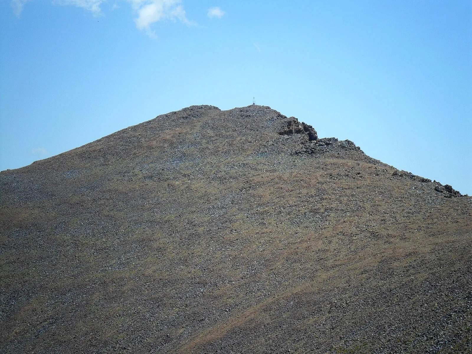
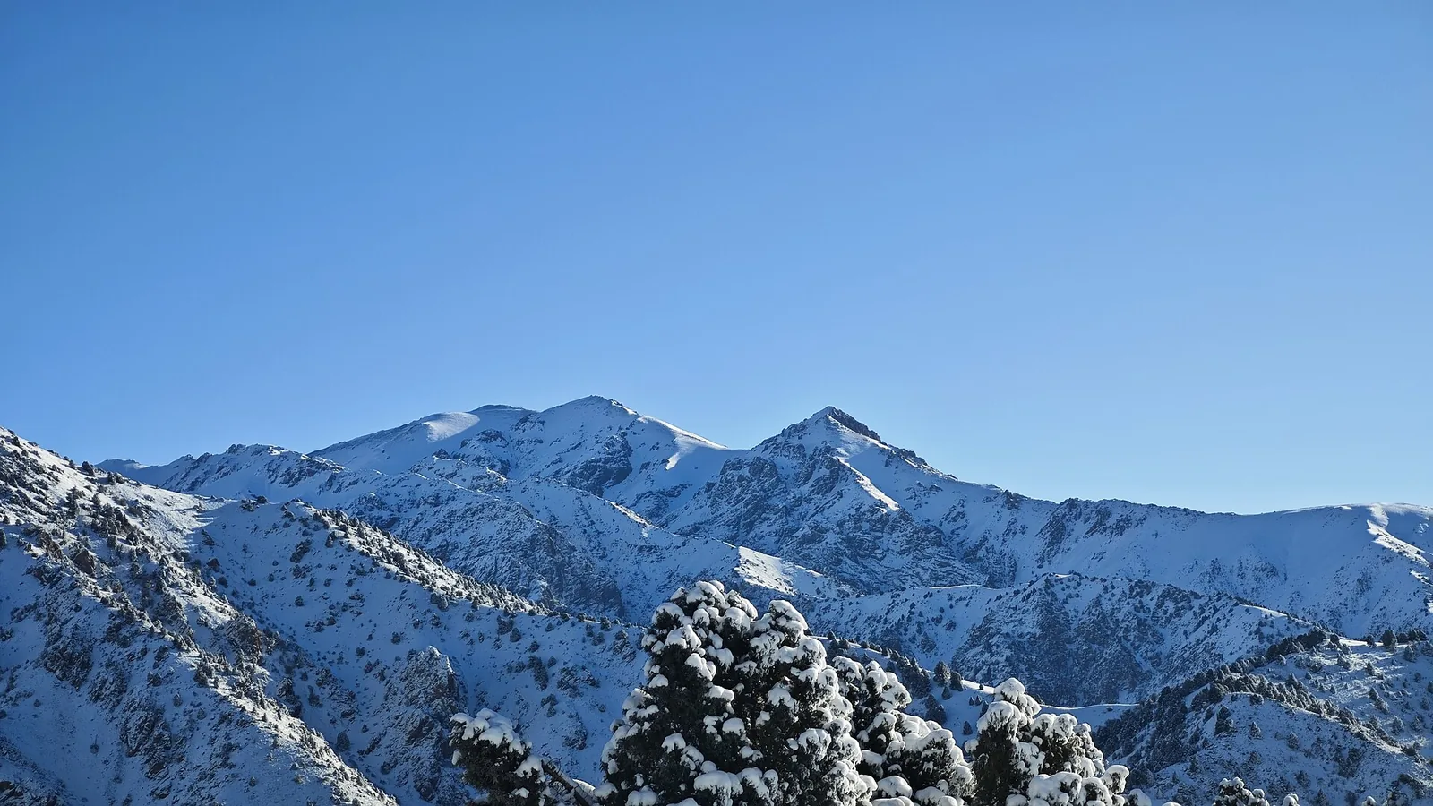
Babaitag is a 3,555 m summit on a western Chatkal spur near Angren. The ascent starts from Ertash village across summer pastures; the ridge overlooks the Angren valley and the Kurama range.
Routes
-
Babaitag — the direct climb ★Expert · Community reported · 8 h 10 min7,0 km · +1 842 m
-
Babaitag — bypassing the baseExpert · Community reported · 4 h 25 min6,6 km · +1 846 m
-
Babaitag — the new descent lineHard · Community reported · 5 h 30 min11,6 km · +3 m
-
Babaitag and Shakhtyor in one dayExpert · Community reported · 10 h 30 min13,8 km · +1 860 m
Trail conditions
No reports in the last 14 days. Be the first to report in the app.
How to get there
-
By carTashkent — Angren highway, then to the mountain villages. · 120,0 km · 2 h 30 min
Photos
Photos by Wikimedia Commons contributors, CC BY-SA 4.0