Peak · Samarkand
Chonqaymish
2 199 mModerate Community reported
2 199 m
Elevation
0
trips
0
verified
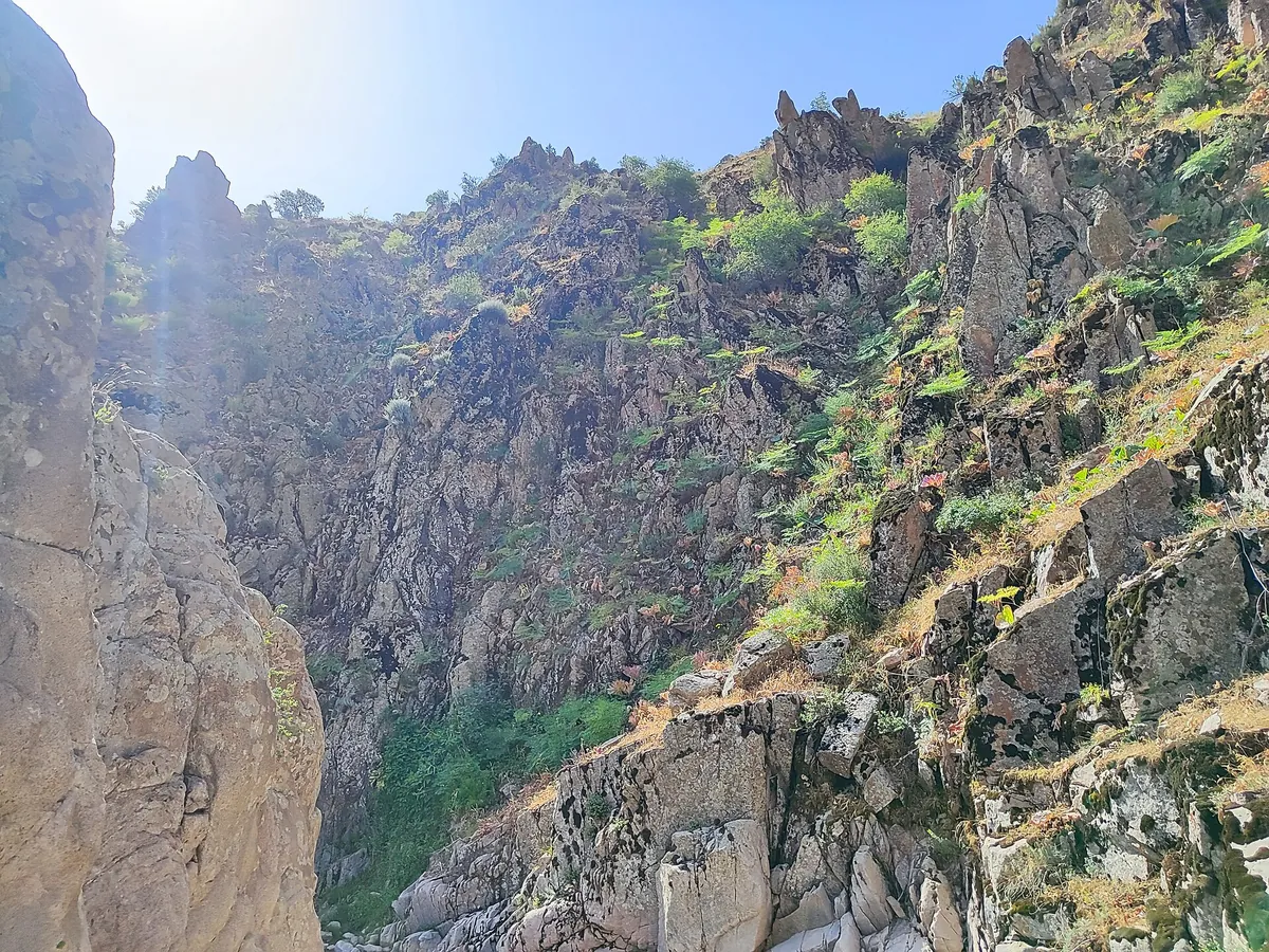
Chonqaymish is the high point of the Qumgaza ridge south of Samarkand; the community calls it a "2,000 m peak" while the GPS logged 2,199 m. Routes run 9–19 km with 930–1,250 m of gain, and the slopes fill with tulips in spring.
Routes
-
Chonqaymish — up and back ★Moderate · Community reported · 7 h 5 min9,3 km · +928 m
-
Along the Qumgaza ridgeHard · Community reported · 10 h 15 min18,8 km · +1 249 m
Weather
At 2 199 mToday
Drizzle
4°-5°
Rain 2.1 mm
13 November 2026
Snow
-1°-6°
Rain 10.0 mm
14 November 2026
Clear
4°-4°
15 November 2026
Cloudy
6°-3°
Now: -1° · Clear · Wind 3 km/h
Updated: 8 min ago · Weather data by Open-Meteo.com (CC BY 4.0)
Trail conditions
No reports in the last 14 days. Be the first to report in the app.
Report conditions
Sign in to write.
Sign inDiscussion
No questions yet. Ask the first one.
Sign in to write.
Sign in
How to get there
-
By carTashkent — Samarkand, then the Agalyk mountains. · 300,0 km · 4 h
-
Afrosiyob trainHigh-speed train Tashkent — Samarkand, then taxi. · 300,0 km · 2 h 30 min120 000 UZS
Questions and answers
How do you get there?
By car: Tashkent — Samarkand, then the Agalyk mountains. There are 2 ways in altogether.
Which months are best?
Mar–Jun, Sep–Nov — that is when people go.
How long does it take?
One trip takes about 7 h 5 min: 9,3 km of walking and 928 m of climbing.
Is there phone signal?
It comes and goes.