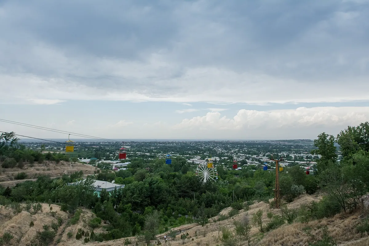
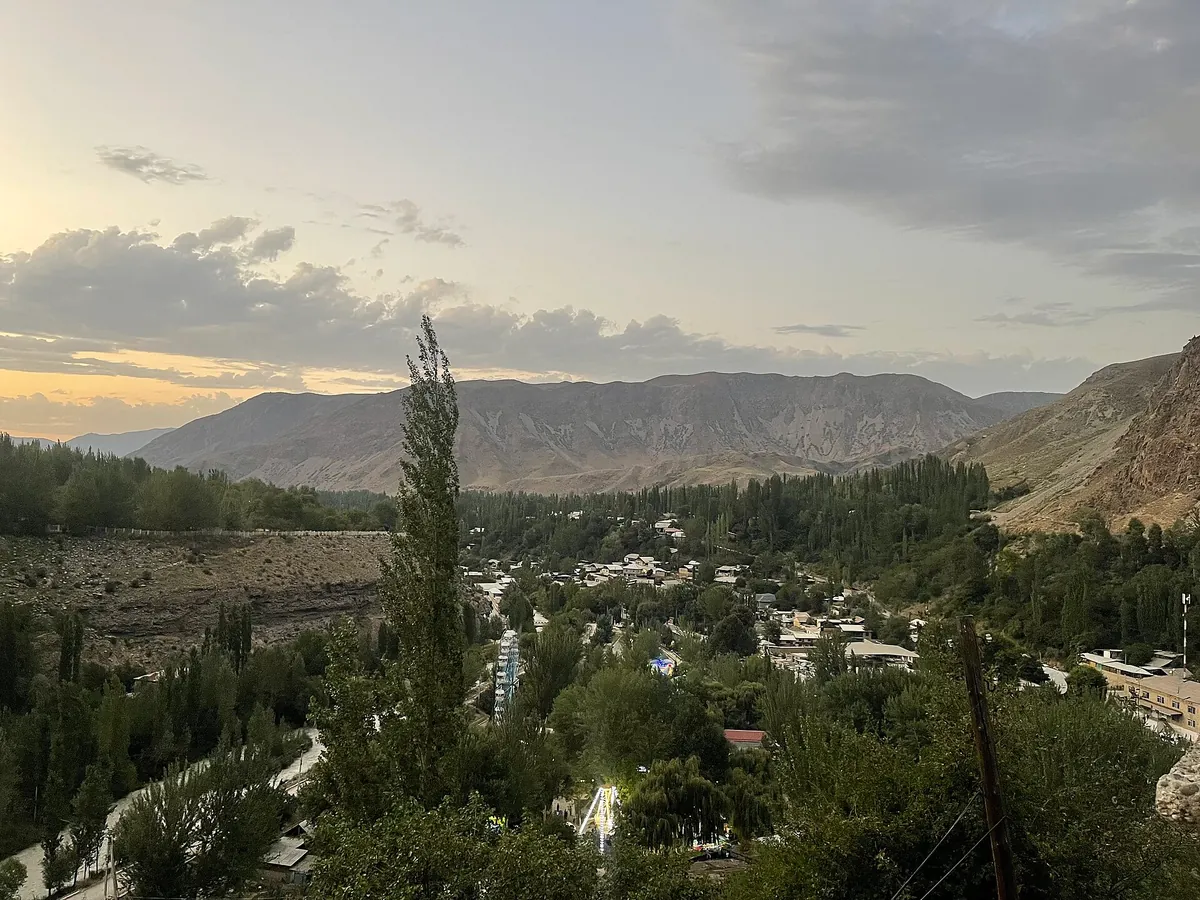
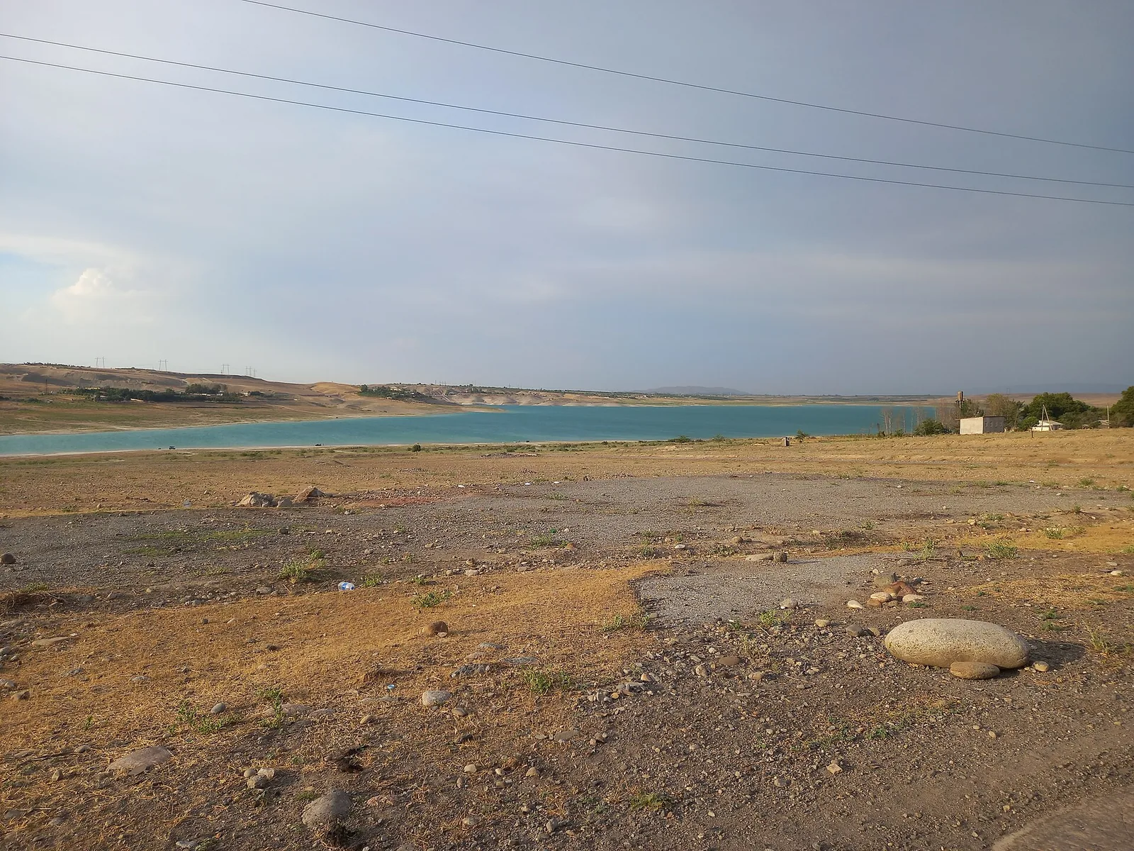
Karkidon Reservoir
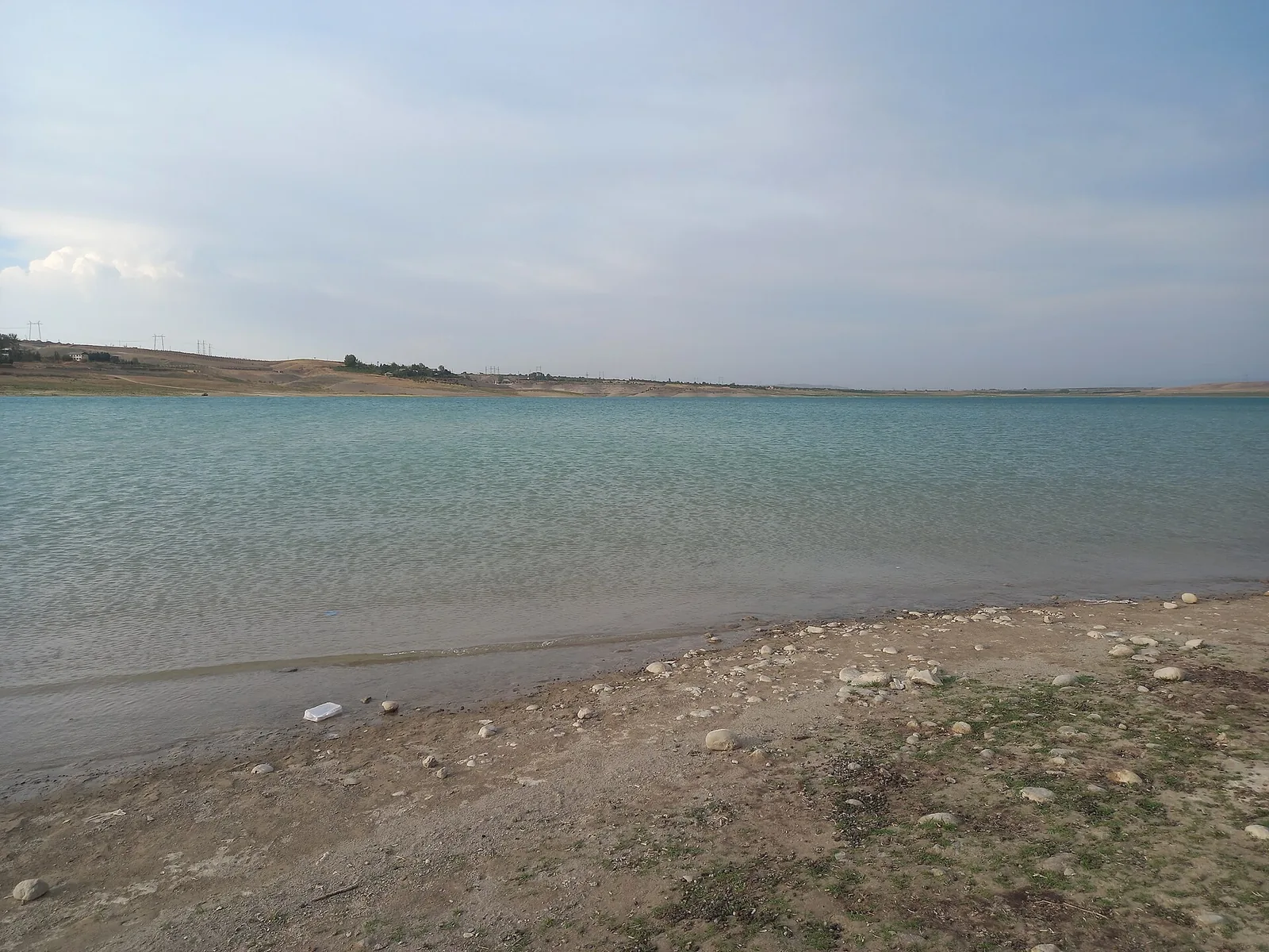
Karkidon is a reservoir 40 km east of Fergana among the foothills at 640 m. People from the Fergana valley come to fish and spend the day on the shore, and easy paths run over the surrounding hills. Summer sun is harsh and there is little shade — bring shelter and water.
Weather
At 640 mNow: 6° · Partly cloudy · Wind 4 km/h
Updated: 9 min ago · Weather data by Open-Meteo.com (CC BY 4.0)
Trail conditions
No reports in the last 14 days. Be the first to report in the app.
Discussion
No questions yet. Ask the first one.
How to get there
-
By carFergana — Quva — Karkidon on paved road; the last 2 km are dirt. · 40,0 km · 55 min
-
Public transportMarshrutka Fergana — Quva (about 8,000 UZS), then a taxi to the reservoir. · 42,0 km · 1 h 30 min25 000 UZS
Questions and answers
How do you get there?
By car: Fergana — Quva — Karkidon on paved road; the last 2 km are dirt. There are 2 ways in altogether.
Which months are best?
Apr–Oct — that is when people go.
Is there water on the way?
Yes, there is water on the way.
Is there phone signal?
Yes, the signal holds.
Can you go with children?
Yes, people bring children here.
Can you camp?
Yes, you can pitch a tent and stay the night.
Photos
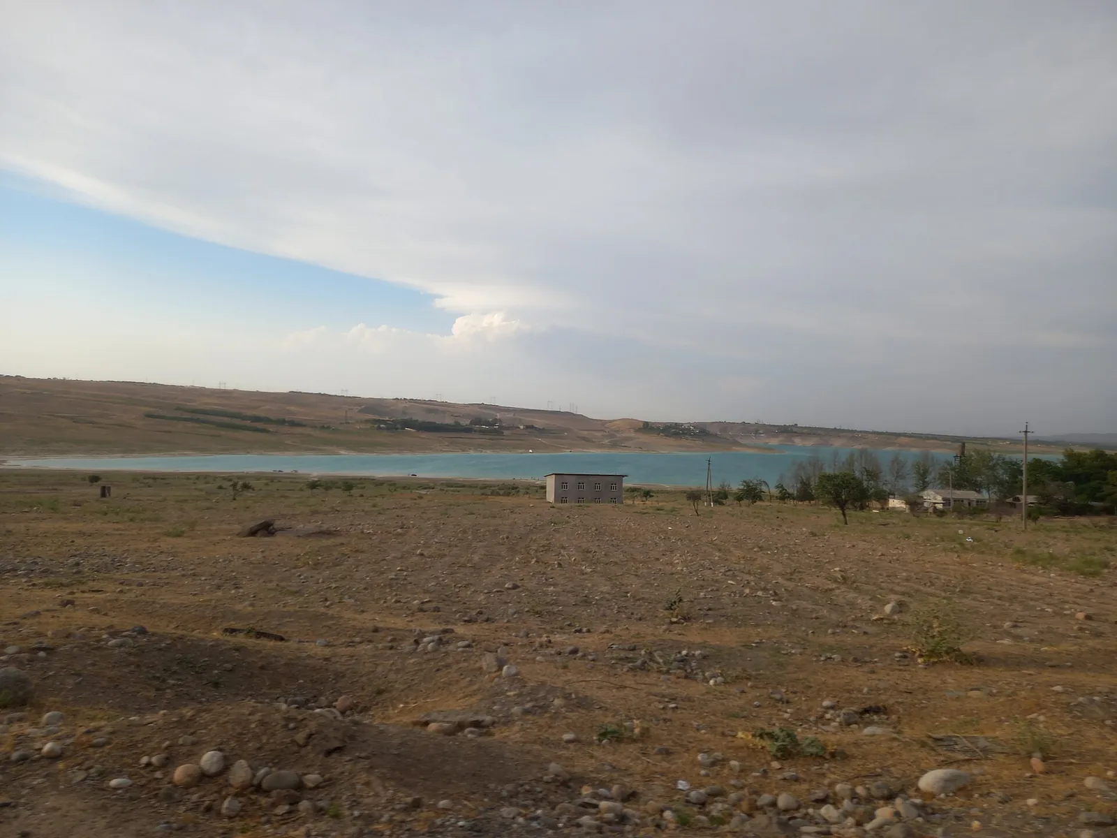
Photos by Wikimedia Commons contributors, CC BY-SA 4.0