
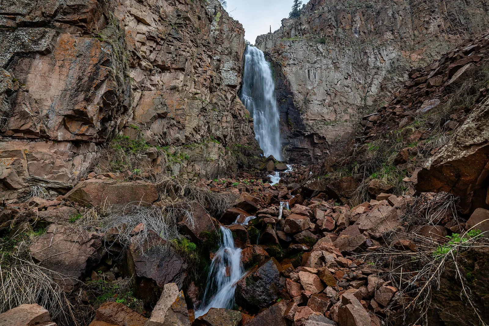
Valley · Tashkent
Kashkasu
1 787 mModerate Community reported
1 787 m
Elevation
0
trips
0
verified
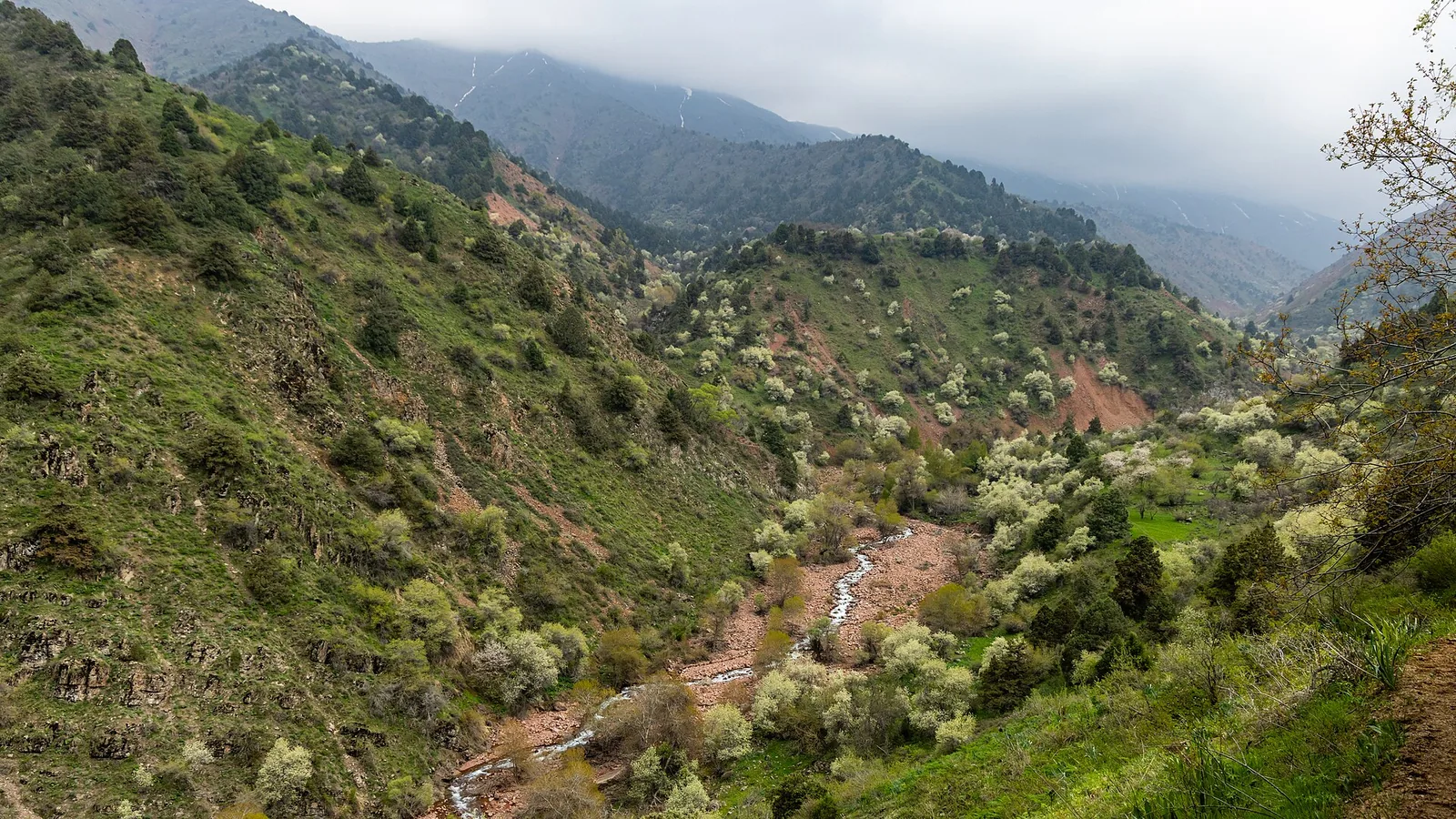
Kashkasu is a side valley in the Aksakata basin with its head at about 1,790 m. Routes run 6–12 km with 500–600 m of gain and there are plenty of streamside camp spots — a handy half-day out of Tashkent.
Routes
-
Kashkasu — to the head of the valley ★Moderate · Community reported · 8 h 15 min11,8 km · +577 m
-
Kashkasu — short versionEasy · Community reported · 3 h 30 min5,9 km · +518 m
-
Kashkasu — summer walkModerate · Community reported · 5 h 10 min8,8 km · +538 m
Weather
At 1 787 mToday
Cloudy
3°-5°
13 November 2026
Snow
1°-4°
Rain 1.2 mm
14 November 2026
Fog
5°-4°
15 November 2026
Cloudy
7°0°
Now: -1° · Clear · Wind 2 km/h
Updated: 8 min ago · Weather data by Open-Meteo.com (CC BY 4.0)
Trail conditions
No reports in the last 14 days. Be the first to report in the app.
Report conditions
Sign in to write.
Sign inDiscussion
No questions yet. Ask the first one.
Sign in to write.
Sign in
How to get there
-
By carTashkent — Parkent — Kumyshkan, 1–1.5 h. · 60,0 km · 1 h 20 min
Questions and answers
How do you get there?
By car: Tashkent — Parkent — Kumyshkan, 1–1.5 h.
Which months are best?
Mar–Jun, Sep–Nov — that is when people go.
How long does it take?
One trip takes about 8 h 15 min: 11,8 km of walking and 577 m of climbing.
Is there water on the way?
Yes, there is water on the way.
Is there phone signal?
It comes and goes.
Can you camp?
Yes, you can pitch a tent and stay the night.
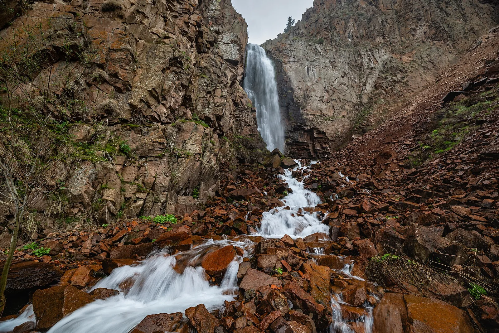
Photos
Photos by Wikimedia Commons contributors, CC BY-SA 4.0