Peak · Samarqand
Kemkutan
2 195 mHard Community reported
2 195 m
Elevation
0
trips
0
verified
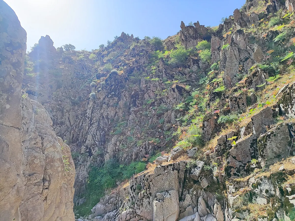
Kemkutan is a 2,195 m summit in the Karatepa ridge south of Samarkand, at the head of the Agalyk valley. The community calls it the high point of the "Agalyk crown" traverse and grades the lines 1B–2A — there are rock steps. Three community lines end on the summit, but none of them carries elevation, so neither ascent nor profile is shown.
Routes
-
Kemkutan — the 2A ridge ★Hard · Community reported · 1 h 30 min5,4 km · +0 m
-
Kemkutan — the "Agalyk crown" traverseHard · Community reported · 1 h3,5 km · +0 m
-
Kemkutan — via the grottoHard · Community reported · 1 h 45 min6,2 km · +0 m
Trail conditions
No reports in the last 14 days. Be the first to report in the app.
How to get there
-
By carTashkent — Samarkand, then the Agalyk mountains. · 300,0 km · 4 h
-
Afrosiyob trainHigh-speed train Tashkent — Samarkand, then taxi. · 300,0 km · 2 h 30 min120 000 UZS