
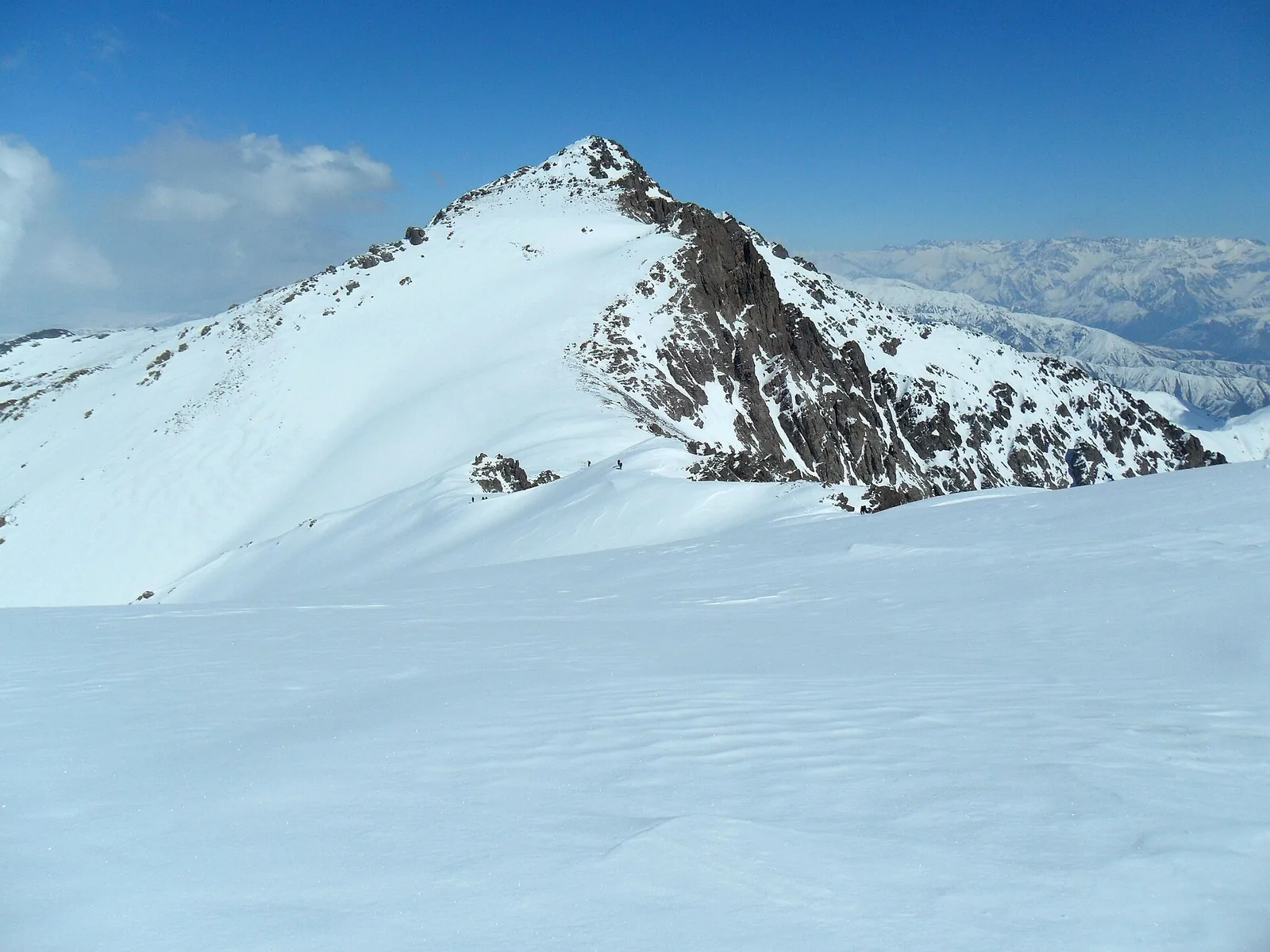
Mingbulak
Mingbulak is a 2,811 m summit in the Karzhantau range west of Charvak. The route starts from a side valley at about 1,200 m and gains some 1,900 m, which most parties split over two days. The name means "a thousand springs" — water is plentiful on the upper pastures.
Routes
-
Mingbulak — the full route ★Expert · Community reported · 9 h18,9 km · +1 882 m
-
Karakiya waterfall and KyzylsuModerate · Community reported · 4 h7,7 km · +950 m
-
Mingbulak — descent via KyzylsuModerate · Community reported · 7 h 15 min8,3 km · +50 m
Weather
At 2 811 mNow: -11° · Clear · Wind 0 km/h
Updated: just now · Weather data by Open-Meteo.com (CC BY 4.0)
Trail conditions
No reports in the last 14 days. Be the first to report in the app.
Report conditions
Sign in to write.
Sign inDiscussion
No questions yet. Ask the first one.
How to get there
-
By carTashkent — Chirchik — Khodjikent, about 1.5 h. · 80,0 km · 1 h 35 min
-
Train + DamasTashkent-South → Khodjikent express (it runs on to Chinorkent) — 30,000 UZS, 16,500 for a child. Then a Damas from Chirchik to Charvak, or bus №1226 straight from Mashinasozlar metro (25,000 UZS, 1 h 30 min). · 80,0 km · 2 h45 000 UZS
-
Taxi (one way, per car)150,000–250,000 UZS per car. · 80,0 km · 1 h 40 min200 000 UZS
Questions and answers
How do you get there?
By car: Tashkent — Chirchik — Khodjikent, about 1.5 h. There are 3 ways in altogether.
Which months are best?
May–Oct — that is when people go.
How long does it take?
One trip takes about 9 h: 18,9 km of walking and 1 882 m of climbing.
Is there water on the way?
Yes, there is water on the way.
Is there phone signal?
No. Save the map beforehand and tell someone at home where you are going.
Can you camp?
Yes, you can pitch a tent and stay the night.
Photos
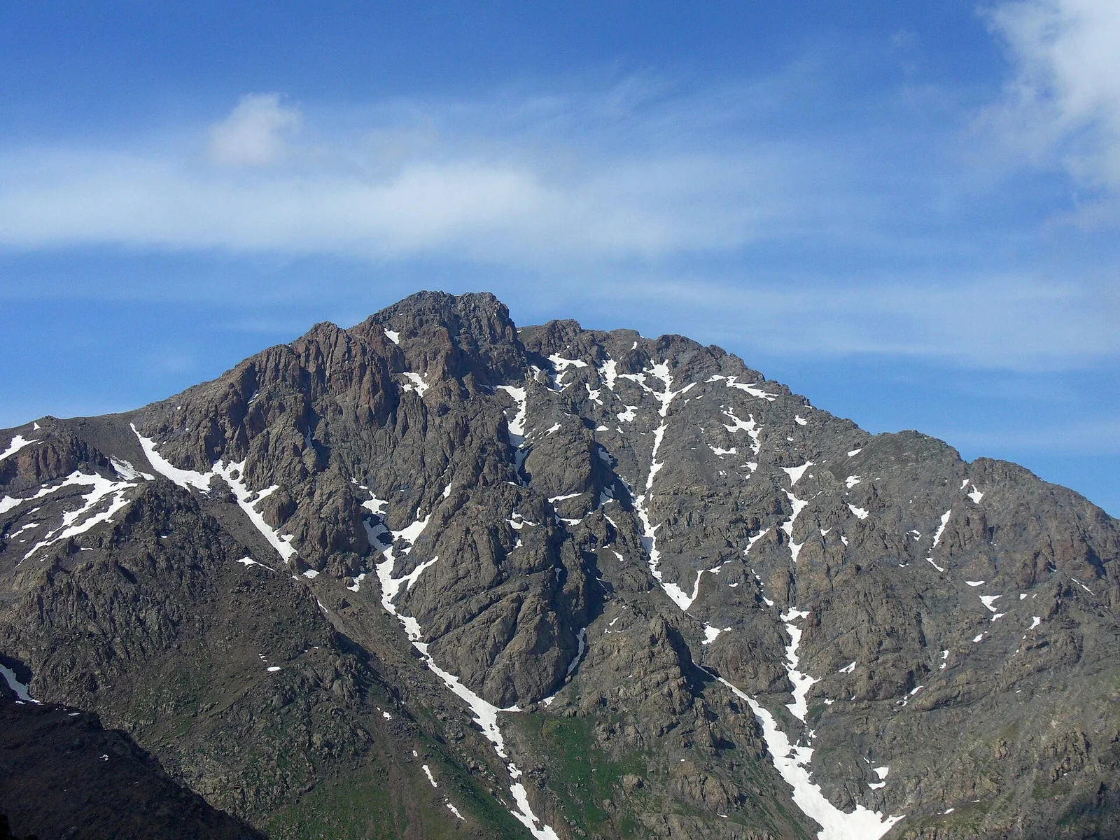
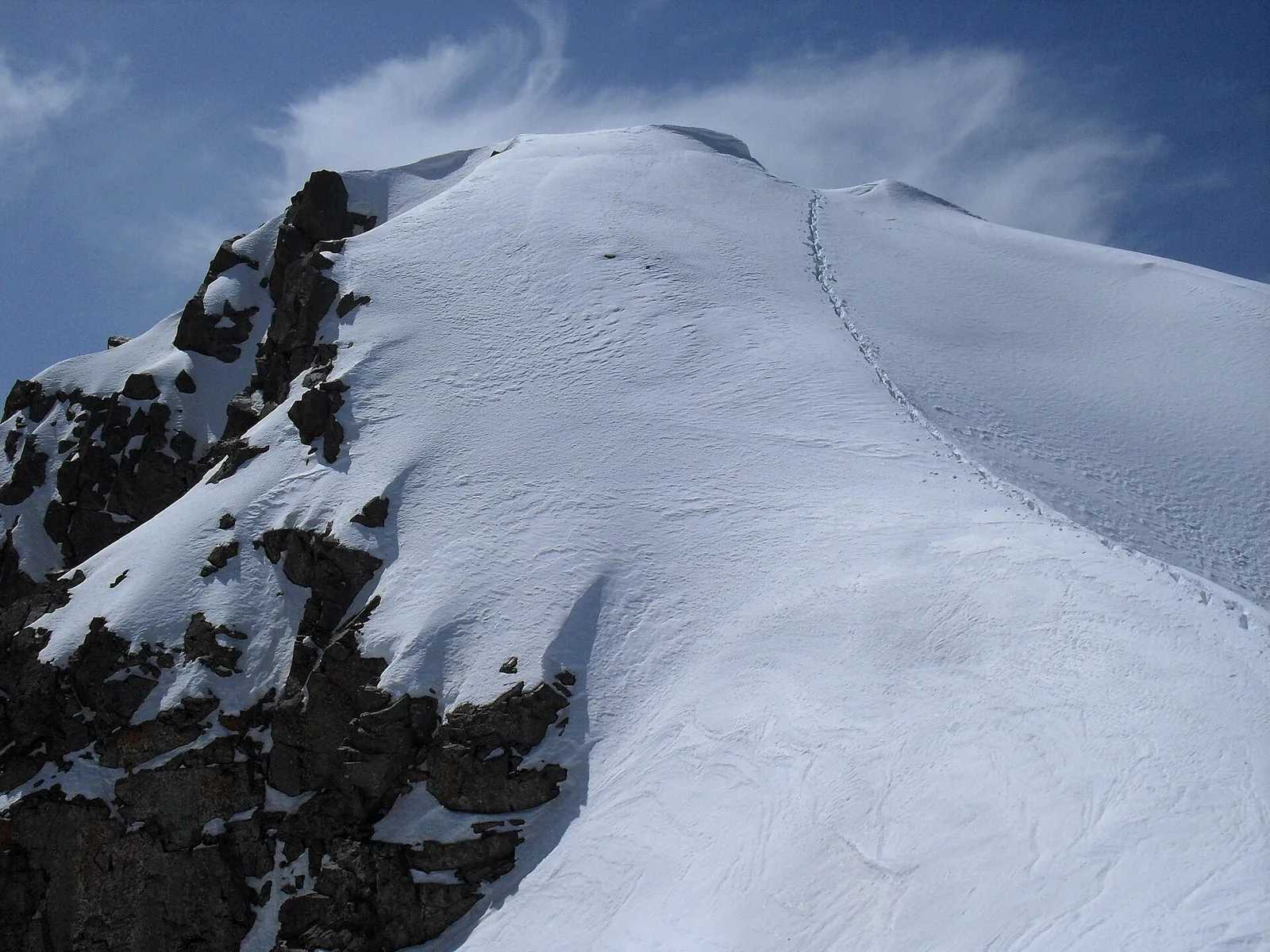
Photos by Wikimedia Commons contributors, CC BY-SA 4.0