Waterfall · Tashkent
Obipar Waterfall
1 678 mModerate Community reported
1 678 m
Elevation
0
trips
0
verified
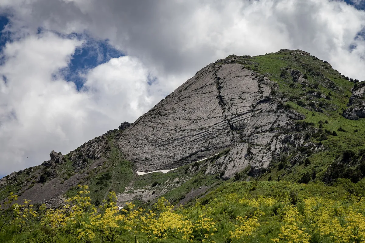
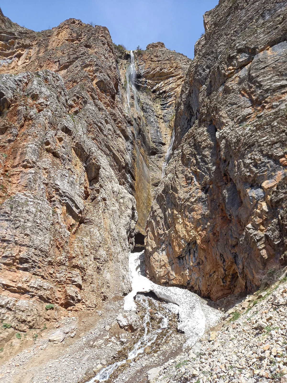
Obipar is a waterfall at 1,678 m in a side valley above Nanay — 2.5 km from the trailhead with 650–700 m of steep climbing on a rocky, damp path. Flow is strongest in spring.
Routes
-
Obipar waterfall — from the trailhead ★Moderate · Community reported · 1 h 20 min2,2 km · +674 m
-
Obipar — descent from the fallsEasy · Community reported · 1 h 30 min2,1 km · +0 m
-
Obipar — the "Opar" lineModerate · Community reported · 3 h 20 min2,6 km · +504 m
-
Obipar — to the falls and backModerate · Community reported · 2 h 30 min4,7 km · +725 m
-
Obipar — winter loopModerate · Community reported · 5 h 30 min5,2 km · +564 m
Weather
At 1 678 mToday
Fog
0°-13°
13 November 2026
Snow
0°-8°
Rain 0.3 mm
14 November 2026
Fog
1°-12°
15 November 2026
Cloudy
4°-7°
Now: -5° · Clear · Wind 3 km/h
Updated: 8 min ago · Weather data by Open-Meteo.com (CC BY 4.0)
Trail conditions
No reports in the last 14 days. Be the first to report in the app.
Report conditions
Sign in to write.
Sign inDiscussion
No questions yet. Ask the first one.
Sign in to write.
Sign in
How to get there
-
By carTashkent — Charvak — Nanay village, about 3 h. · 130,0 km · 3 h
Questions and answers
How do you get there?
By car: Tashkent — Charvak — Nanay village, about 3 h.
Which months are best?
Apr–Sep — that is when people go.
How long does it take?
One trip takes about 1 h 20 min: 2,2 km of walking and 674 m of climbing.
Is there water on the way?
Yes, there is water on the way.
Is there phone signal?
No. Save the map beforehand and tell someone at home where you are going.