Lake · Toshkent
Upper Oygaing Lakes
3 970 mExpert Community reported
Border zone
3 970 m
Elevation
0
trips
0
verified
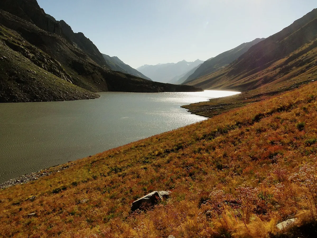
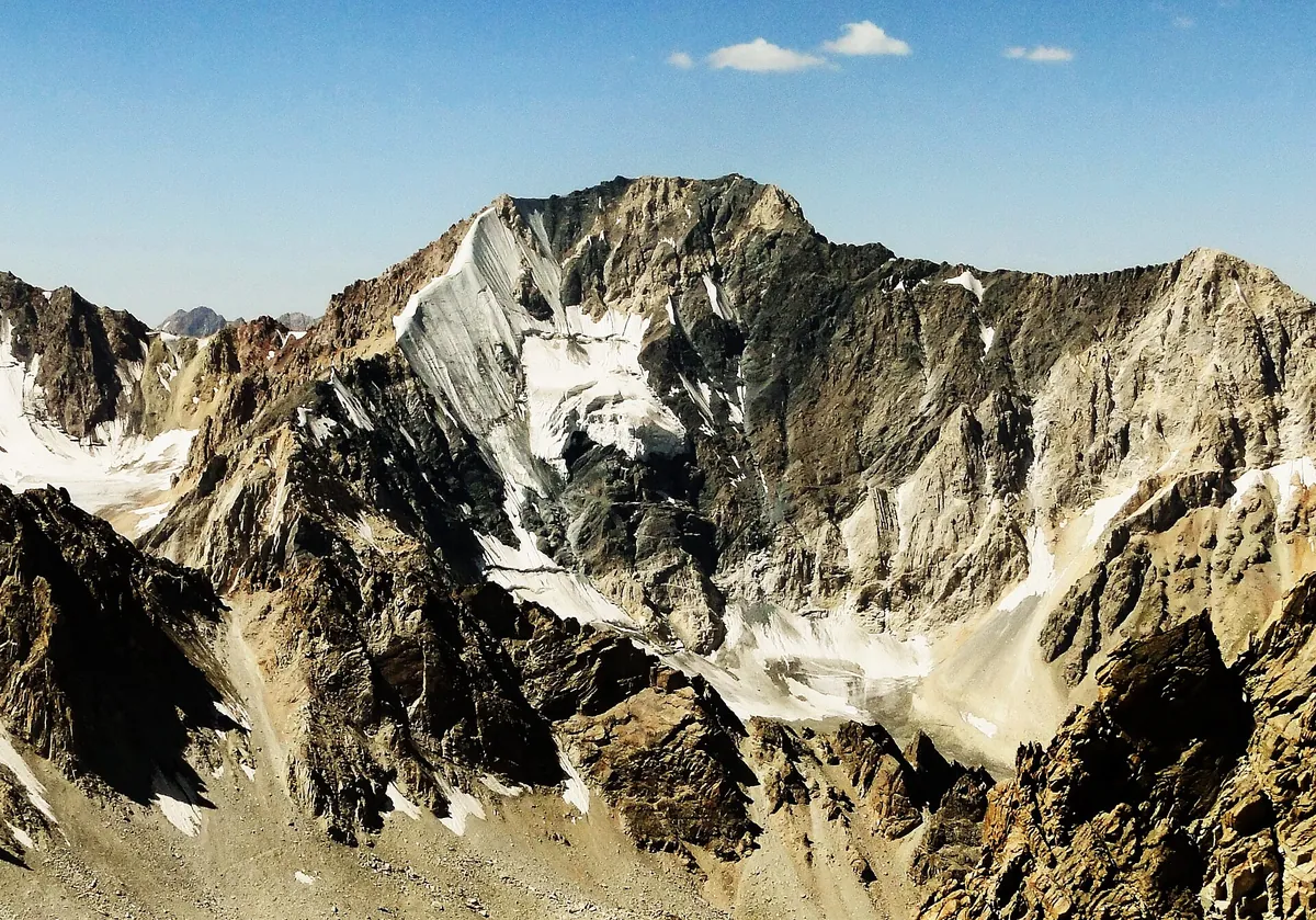
Lakes at the very head of the Oygaing river with the Ozyorny glacier above them, at 3,900–4,000 m. From the Akkapchigay trailhead the round trip is 57–64 km over several days. This is one of the remotest corners of Uzbekistan — border permit, own food and full self-sufficiency.
Routes
-
The three far lakes of the Oygaing ★Expert · Community reported · 20 h 30 min57,0 km · +2 102 m
-
From the clear-stream camp to the Ozyorny glacierExpert · Community reported · 4 h 10 min7,1 km · +1 039 m
Trail conditions
No reports in the last 14 days. Be the first to report in the app.
How to get there
-
By carTashkent — Charvak — Bogiston — Pskem valley; border zone above Pskem village. · 170,0 km · 4 h
Community vehicle tracks: 67 km of 4×4 road from Urungach into the Oygaing valley, 4.5 hours; the border permit is checked at the post.