Paltau Mountain
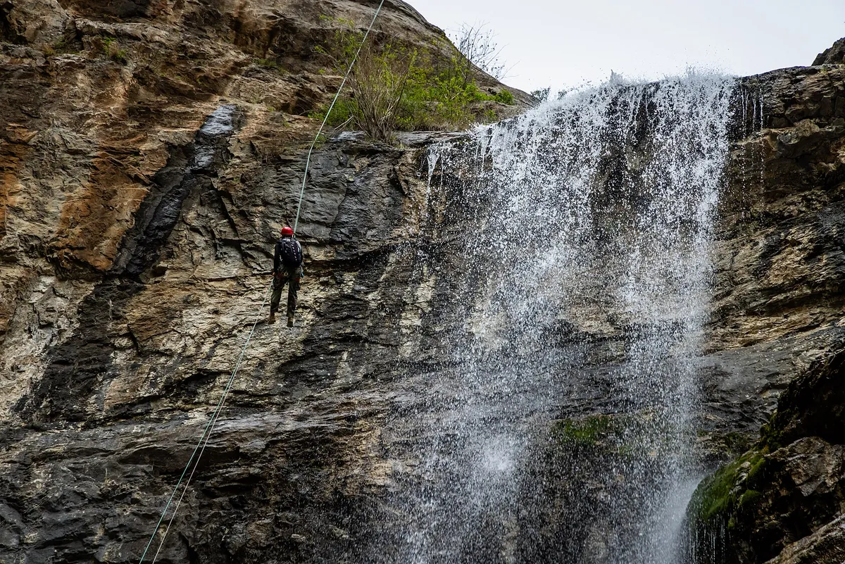
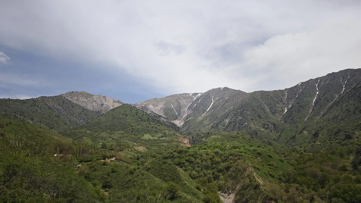
Paltau is a 2,027 m hill above the village of the same name, east of the Charvak reservoir. The trail starts in the village at about 960 m and climbs through pastures and juniper. The Obi-Rakhmat grotto sits in the same valley.
Routes
-
Paltau — to the top ★Hard · Community reported · 10 h 5 min19,0 km · +1 248 m
-
The lower PaltausayEasy · Community reported · 5 h 25 min7,7 km · +257 m
-
The upper PaltausayModerate · Community reported · 9 h 15 min12,5 km · +656 m
Weather
At 2 027 mNow: -6° · Clear · Wind 0 km/h
Updated: 8 min ago · Weather data by Open-Meteo.com (CC BY 4.0)
Trail conditions
No reports in the last 14 days. Be the first to report in the app.
Report conditions
Sign in to write.
Sign inDiscussion
No questions yet. Ask the first one.
How to get there
-
By carTashkent — Chirchik — Khodjikent, about 1.5 h. · 80,0 km · 1 h 35 min
-
Train + DamasTashkent-South → Khodjikent express (it runs on to Chinorkent) — 30,000 UZS, 16,500 for a child. Then a Damas from Chirchik to Charvak, or bus №1226 straight from Mashinasozlar metro (25,000 UZS, 1 h 30 min). · 80,0 km · 2 h45 000 UZS
-
Taxi (one way, per car)150,000–250,000 UZS per car. · 80,0 km · 1 h 40 min200 000 UZS
Community vehicle tracks: 70 km of mountain road from Nanay to Paltau at an average of 7 km/h — driven, not walked.
Questions and answers
How do you get there?
By car: Tashkent — Chirchik — Khodjikent, about 1.5 h. There are 3 ways in altogether.
Which months are best?
Apr–Nov — that is when people go.
How long does it take?
One trip takes about 10 h 5 min: 19,0 km of walking and 1 248 m of climbing.
Is there water on the way?
Yes, there is water on the way.
Is there phone signal?
It comes and goes.
Can you drive there?
Yes, you can drive there.