Peak · Tashkent
Patandezbashi
1 806 mModerate Community reported
1 806 m
Elevation
0
trips
0
verified
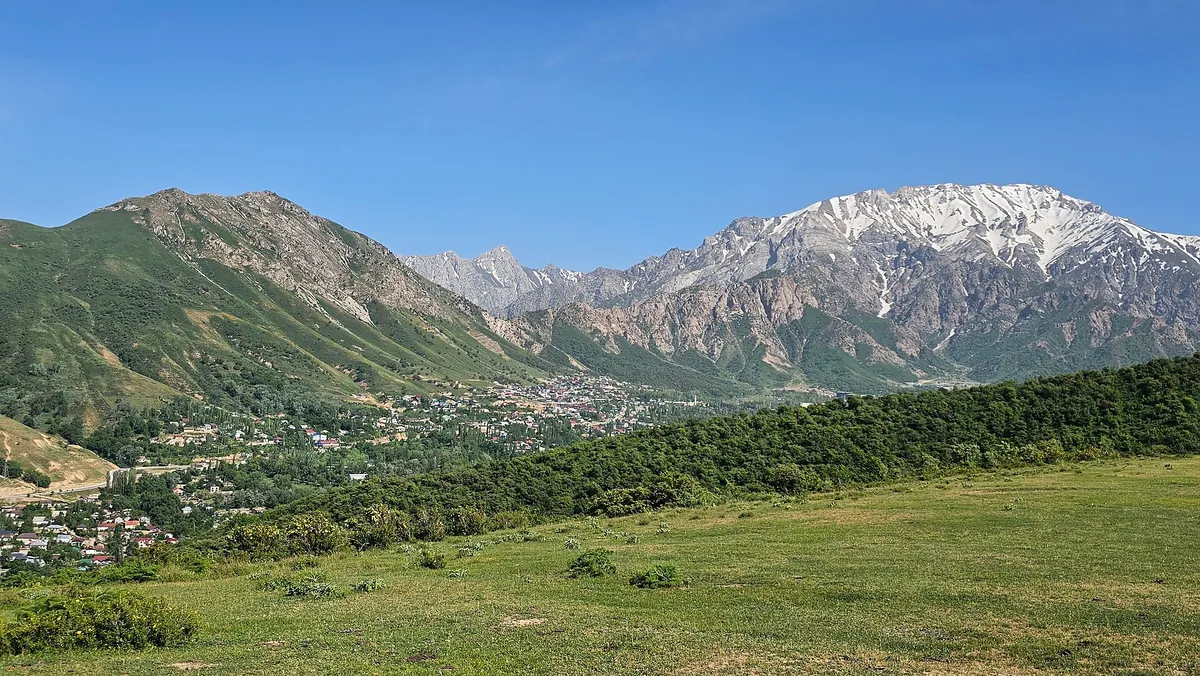
Patandezbashi is a 1,806 m top between Gulkam and Yangikurgan overlooking the Charvak basin. The route is short but steep — about 850 m of climbing in 6 km. Snow is thin here, so it is walked almost year-round.
Routes
-
Patandezbashi — up and back ★Moderate · Community reported · 3 h 20 min6,0 km · +856 m
-
Patandezbashi — alternative lineModerate · Community reported · 1 h 30 min5,3 km · +0 m
Weather
At 1 806 mToday
Partly cloudy
1°-11°
13 November 2026
Snow
0°-11°
Rain 0.7 mm
14 November 2026
Fog
2°-12°
15 November 2026
Partly cloudy
4°-7°
Now: -5° · Clear · Wind 0 km/h
Updated: 8 min ago · Weather data by Open-Meteo.com (CC BY 4.0)
Trail conditions
No reports in the last 14 days. Be the first to report in the app.
Report conditions
Sign in to write.
Sign inDiscussion
No questions yet. Ask the first one.
Sign in to write.
Sign in
How to get there
-
By carTashkent — Chirchik — Gazalkent — Chimgan on paved road; chains may be needed in winter. · 85,0 km · 1 h 45 min
-
Taxi (one way, per car)Yandex Go or intercity taxi: 150,000–350,000 UZS per car. · 85,0 km · 1 h 50 min250 000 UZS
-
Public transportMetro or bus (1,700 by card, 3,000 cash) → Buyuk Ipak Yuli → marshrutka to Gazalkent (~50 min) → taxi Gazalkent—Chimgan (200–250k per car, split by 4). · 90,0 km · 2 h 30 min65 000 UZS
-
With a tour operatorGuided day trip incl. transfer: typically 200,000–300,000 UZS per person. · 85,0 km · 2 h250 000 UZS
Questions and answers
How do you get there?
By car: Tashkent — Chirchik — Gazalkent — Chimgan on paved road; chains may be needed in winter. There are 4 ways in altogether.
Which months are best?
Mar–Jun, Sep–Nov — that is when people go.
How long does it take?
One trip takes about 3 h 20 min: 6,0 km of walking and 856 m of climbing.
Is there phone signal?
It comes and goes.