Karakush
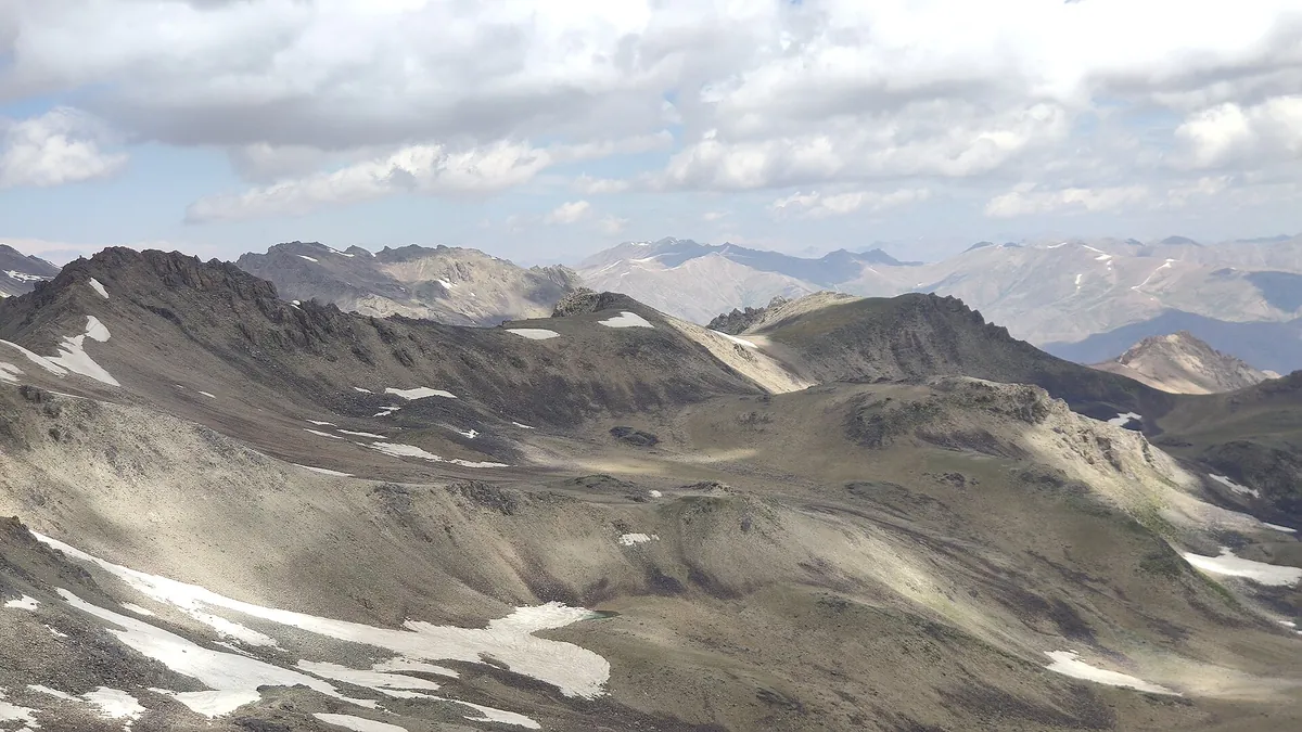
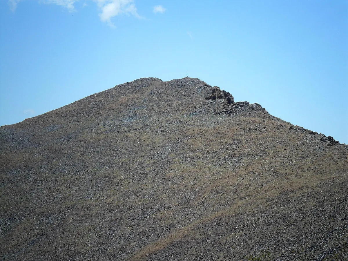
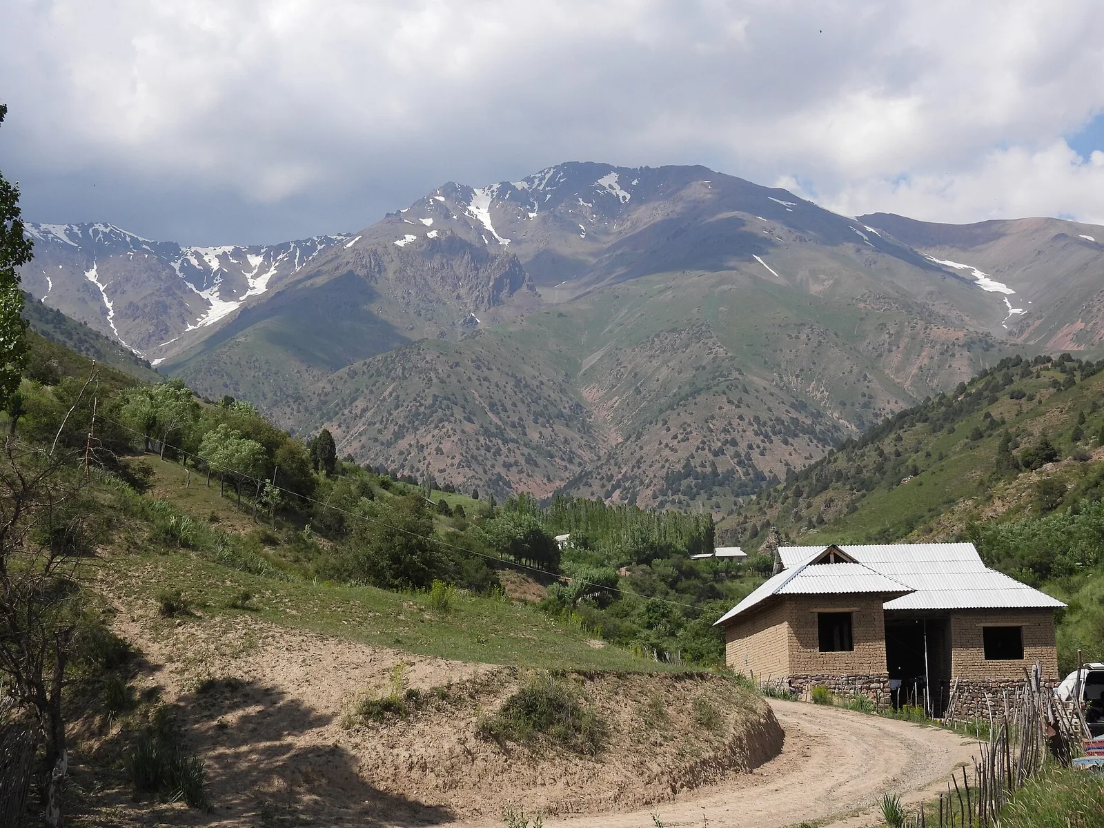
Karakush, 3,864 m, lies inside the Chatkal reserve and is climbed from the Ertashsay base (2,082 m) on the Angren side. Expect +1,780 m and 10–12 hours in a day; there is almost no water on the route in August.
Routes
-
Karakush — from Ertashsay ★Expert · Community reported · 9 h 30 min15,7 km · +2 550 m
-
Karakush — short line from KyzylchaExpert · Community reported · 5 h 55 min7,0 km · +1 782 m
-
Down the Chatkal crestHard · Community reported · 5 h 15 min9,3 km · +15 m
-
Karakush — from the Kyzylcha sideExpert · Community reported · 8 h 40 min9,4 km · +2 058 m
-
Karakush — descent bypassing the "saw"Hard · Community reported · 3 h 10 min12,0 km · +49 m
-
Karakush — winter ascentExpert · Community reported · 9 h16,3 km · +2 200 m
Weather
At 3 864 mNow: -19° · Clear · Wind 1 km/h
Updated: 25 min ago · Weather data by Open-Meteo.com (CC BY 4.0)
Trail conditions
No reports in the last 14 days. Be the first to report in the app.
Report conditions
Sign in to write.
Sign inDiscussion
No questions yet. Ask the first one.
How to get there
-
By carTashkent — Angren highway, then to the mountain villages. · 120,0 km · 2 h 30 min
Questions and answers
Do you need a permit?
Yes. This is a protected area: entry needs permission, or a fee at the gate. Inside the Chatkal biosphere reserve — permission from the reserve administration is required.
How do you get there?
By car: Tashkent — Angren highway, then to the mountain villages.
Which months are best?
Apr–Nov — that is when people go.
How long does it take?
One trip takes about 11 h 30 min: 15,7 km of walking and 2 550 m of climbing.
What does it cost?
Guide (per day, per group) — 250 000 UZS (per group). The prices are estimates and can differ on the day.
Is there water on the way?
No water in August — carry the whole day's supply from the base.
Photos
Photos by Wikimedia Commons contributors, CC BY-SA 4.0