Sultan Uvays Range
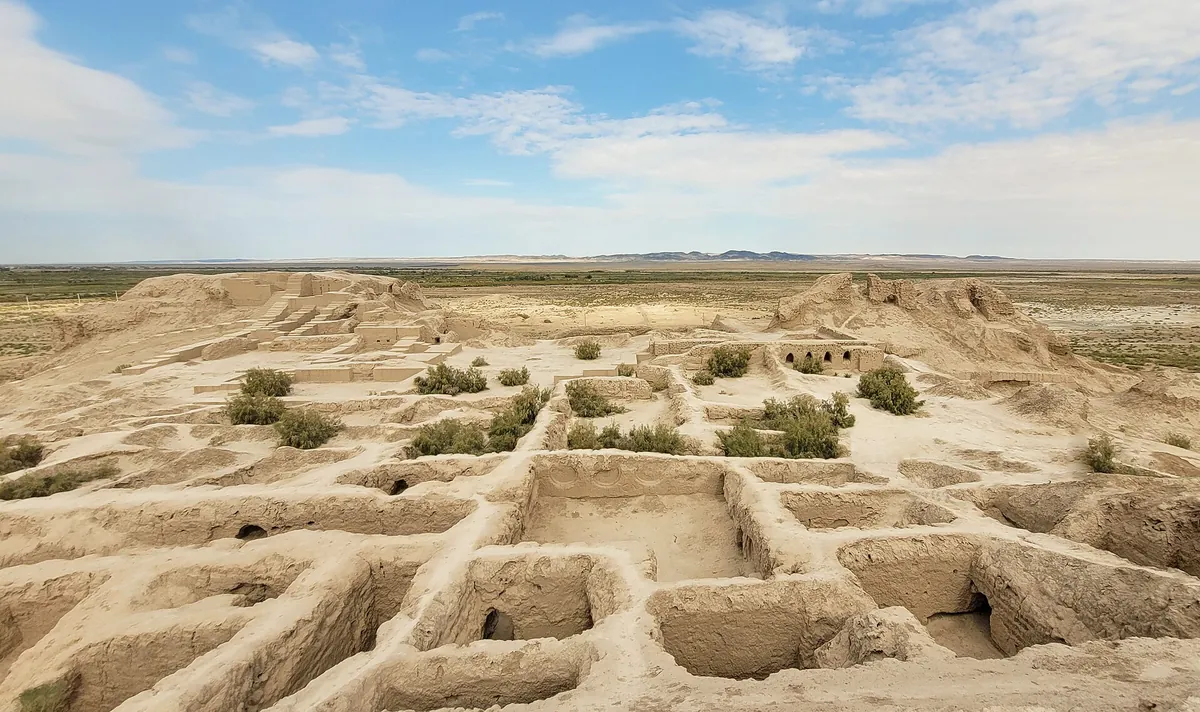
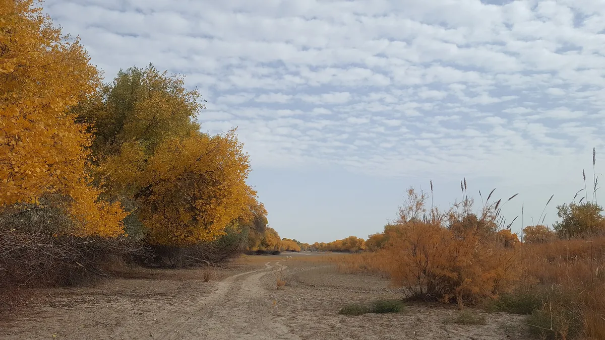
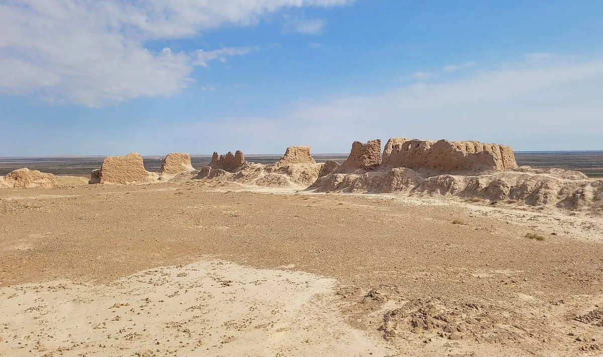
The Sultan Uvays range is a low, 50 km ridge along the right bank of the Amu Darya, topping out at 473 m. Quartzite and marble crests separate the Kyzylkum from the river valley; the Sultan Uvays Bobo shrine sits at its foot with paths leading up from there. There is no permanent water in the range and the gorges get very hot in summer.
Weather
At 473 mNow: 0° · Cloudy · Wind 14 km/h
Updated: 9 min ago · Weather data by Open-Meteo.com (CC BY 4.0)
Trail conditions
No reports in the last 14 days. Be the first to report in the app.
Discussion
No questions yet. Ask the first one.
How to get there
-
By carNukus — the To'rtko'l road — Qizilqal'a — shrine, the last 5 km on dirt. · 90,0 km · 1 h 40 min
-
From Urgench by carUrgench — Beruniy — Sultan Uvays Bobo, about 1 h. · 60,0 km · 1 h 10 min
Questions and answers
How do you get there?
By car: Nukus — the To'rtko'l road — Qizilqal'a — shrine, the last 5 km on dirt. There are 2 ways in altogether.
Which months are best?
Mar–May, Sep–Nov — that is when people go.
How long does it take?
One trip takes about 4 h.
Is there water on the way?
There are no springs in the range — carry at least 3 L of water.
Is there phone signal?
It comes and goes.
Can you camp?
Yes, you can pitch a tent and stay the night.