Uch Uchoq Hills
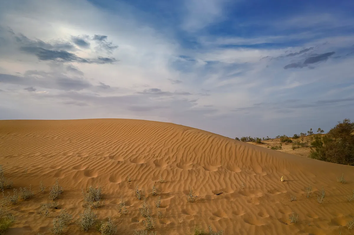
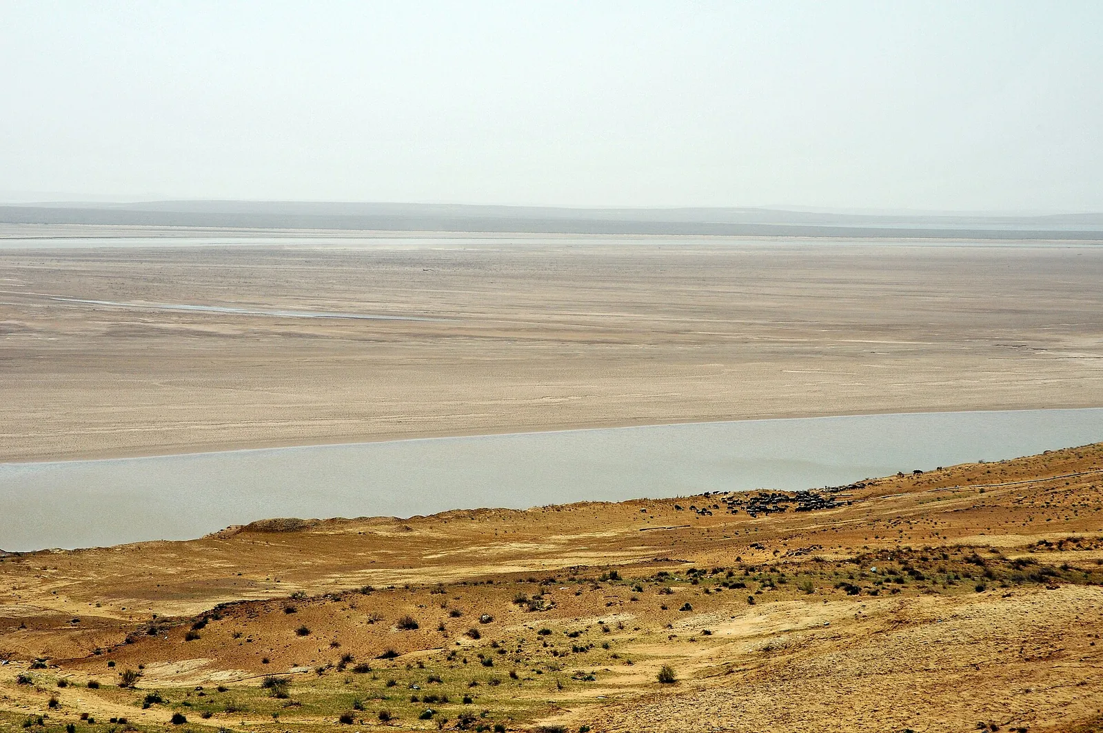
Uch Uchoq is a group of three isolated hills on the bank of the Amu Darya, one of the routes of the Khorezm National Nature Park. The climb takes half an hour and the tops show the river, the tugai forest and the edge of the Kyzylkum at once. Dense tugai woodland grows at their foot — spring and autumn are the best times to walk.
Weather
At 193 mNow: 4° · Cloudy · Wind 14 km/h
Updated: 8 min ago · Weather data by Open-Meteo.com (CC BY 4.0)
Trail conditions
No reports in the last 14 days. Be the first to report in the app.
Discussion
No questions yet. Ask the first one.
How to get there
-
By carUrgench — Hazorasp — Tuproqqal'a, then a dirt track along the river; the last 15 km need high clearance. · 175,0 km · 3 h 30 min
-
On the national park routeBook the park's "Uch Uchoq" route in advance; transport is included. · 175,0 km · 4 h300 000 UZS
Questions and answers
Do you need a permit?
Yes. This is a protected area: entry needs permission, or a fee at the gate. National park land: fires and cutting trees are prohibited, and do not drive into the tugai.
How do you get there?
By car: Urgench — Hazorasp — Tuproqqal'a, then a dirt track along the river; the last 15 km need high clearance. There are 2 ways in altogether.
Which months are best?
Mar–May, Sep–Nov — that is when people go.
How long does it take?
One trip takes about 3 h.
Is there water on the way?
The river water is silty — bring your own drinking water.
Is there phone signal?
It comes and goes.
Photos
Photos by Wikimedia Commons contributors, CC BY-SA 4.0